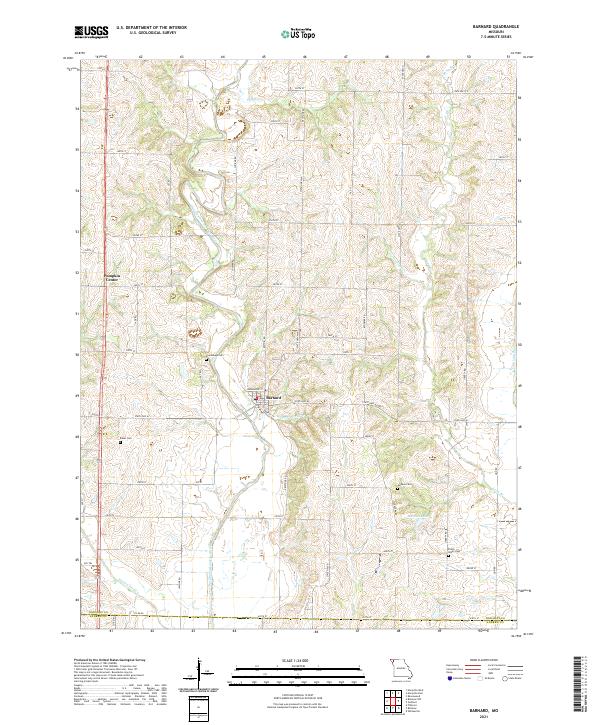
2021 Map of Barnard
USGS Topo · Published 2021About this map
Barnard stands as the primary hub of this rural landscape in Nodaway County, situated near the southern border with Andrew County. The town's grid is defined by Depot St and its proximity to the One Hundred and Two River, which carves a winding path through the western half of the territory. This river valley is joined by several smaller tributaries, including Upper Neely Br and White Cloud Cr, illustrating the complex drainage patterns essential to the local agricultural economy.
Find a feature on this map
48 named features on this map. Tap any name to fly to it.
Don’t see what you’re looking for? This feature index may not catch every label — zoom into the map to look around manually.
Map Details
Editions of this 2021 Barnard Map
This is the sole edition of this map. No revisions or reprints were ever made.
Other maps of this area

1925 · Stanberry
USGS Topo · 1:62,500

1927 · Bolckow
USGS Topo · 1:62,500

1939 · Stanberry
USGS Topo · 1:62,500

1940 · Parnell
USGS Topo · 1:62,500

1943 · Parnell
USGS Topo · 1:62,500

1943 · Maryville
USGS Topo · 1:62,500

1943 · Stanberry
USGS Topo · 1:62,500

1945 · Bolckow
USGS Topo · 1:62,500

1955 · Nebraska City
USGS Topo · 1:250,000

1957 · Nebraska City
USGS Topo · 1:250,000