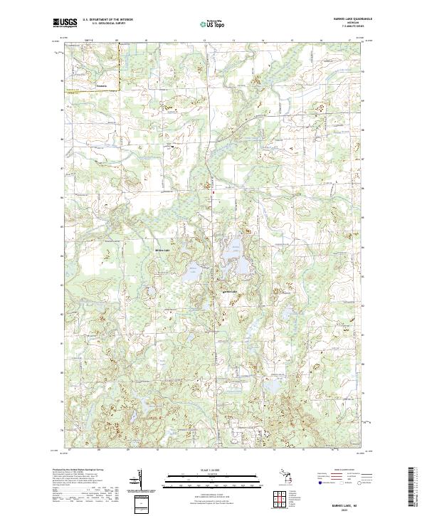
2023 Map of Barnes Lake
USGS Topo · Published 2023About this map
The North Branch Flint River and South Branch Flint River converge in this pocket of Michigan, defining a landscape of glacial kettle lakes and complex drainage systems. Near the northern border, the settlement of Fostoria sits at the junction of the Lapeer and Tuscola county lines, while further south, residential clusters center around Barnes Lake and Millers Lake. The terrain is marked by an intricate network of man-made waterways like the Fostoria Drain and Sutter and Eight Line Drain, which reflect the area's agricultural engineering.
Find a feature on this map
113 named features on this map. Tap any name to fly to it.
Don’t see what you’re looking for? This feature index may not catch every label — zoom into the map to look around manually.
Map Details
Editions of this 2023 Barnes Lake Map
This is the sole edition of this map. No revisions or reprints were ever made.
Other maps of this area

1954 · Flint
USGS Topo · 1:250,000

1958 · Flint
USGS Topo · 1:250,000

1963 · Clifford
USGS Topo · 1:24,000

1963 · Attica
USGS Topo · 1:24,000

1963 · Mayville
USGS Topo · 1:24,000

1963 · North Branch
USGS Topo · 1:24,000

1963 · Columbiaville
USGS Topo · 1:24,000

1963 · Elba
USGS Topo · 1:24,000

1963 · Juniata
USGS Topo · 1:24,000
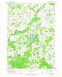
1963 · Barnes Lake
USGS Topo · 1:24,000
Featured Places
- Marathon Township, MI
- Mayfield Township, MI
- Oregon Township, MI
- Deerfield Township, MI
- Watertown Township, MI