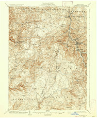
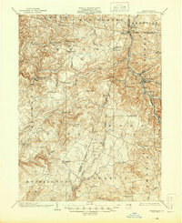
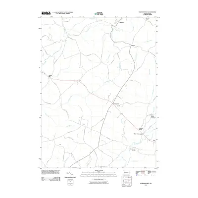
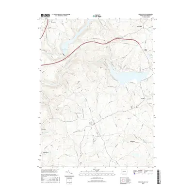
1904 Map of Barnesboro
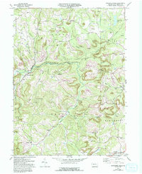
USGS Topo · Published 1937About this map
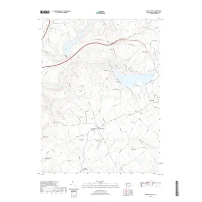
The West Branch of the Susquehanna River snakes through the northeast corner of this Indiana and Cambria County landscape, serving as a primary corridor for early 20th-century settlement and industry. While Barnesboro and North Barnesboro emerge as dense hubs of activity, the surrounding plateaus are dotted with small hamlets like Strongstown, Cookport, and the curiously named Possum Glory. The industrial character of the era is evidenced by the frequent milling sites positioned along the network of runs and creeks, including Garmans Mills, Kellers Mill, and Mitchells Mills.
Find a feature on this map
77 named features on this map. Tap any name to fly to it.
Don’t see what you’re looking for? This feature index may not catch every label — zoom into the map to look around manually.
Map Details
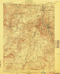
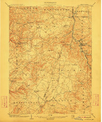
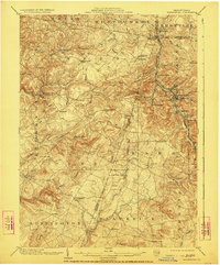
Editions of this 1904 Barnesboro Map
5 editions found
Historical Maps of Northern Cambria Through Time
27 maps found

1902 Barnesboro
Indiana County, PA
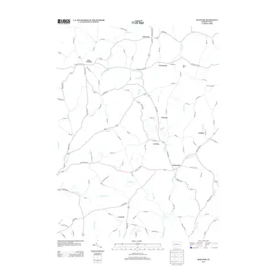
1904 Barnesboro
Indiana County, PA
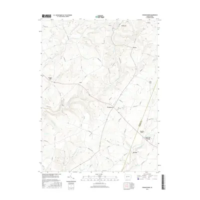
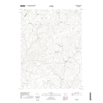
1961 Strongstown
Indiana County, PA
1963 Brush Valley
Indiana County, PA
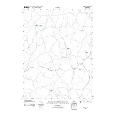
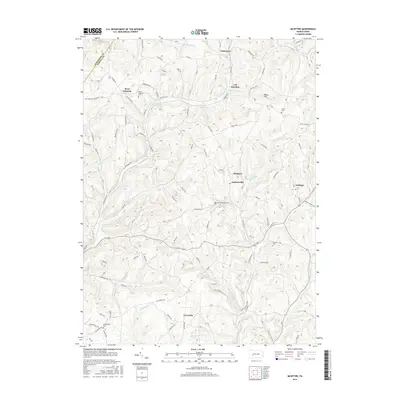
1964 Mc Intyre
Indiana County, PA
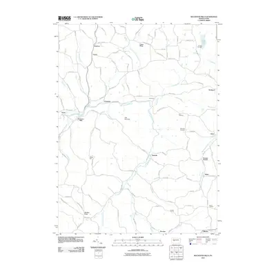
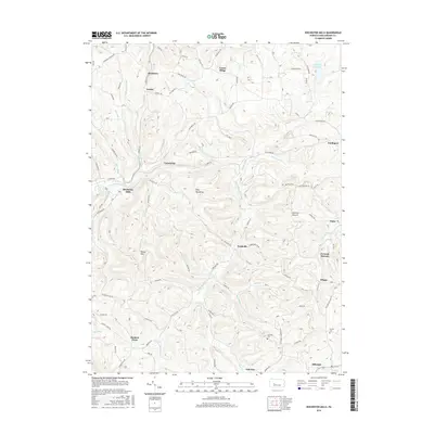
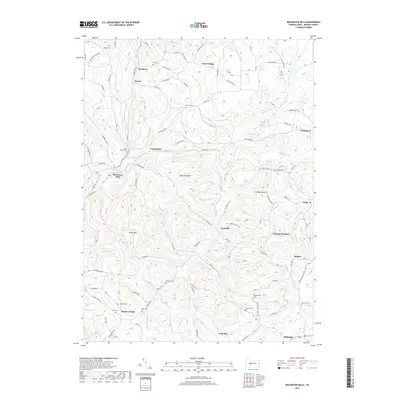
1968 Rochester Mills
Indiana County, PA
1998 Brush Valley
Indiana County, PA

2010 Brush Valley
Indiana County, PA
2010 McIntyre
Indiana County, PA
2010 Rochester Mills
Indiana County, PA
2010 Strongstown
Indiana County, PA

2013 Brush Valley
Indiana County, PA
2013 McIntyre
Indiana County, PA
2013 Rochester Mills
Indiana County, PA
2013 Strongstown
Indiana County, PA
2016 Brush Valley
Indiana County, PA
2016 McIntyre
Indiana County, PA
2016 Rochester Mills
Indiana County, PA
2016 Strongstown
Indiana County, PA
2019 Brush Valley
Indiana County, PA
2019 McIntyre
Indiana County, PA
2019 Rochester Mills
Indiana County, PA
2019 Strongstown
Indiana County, PA
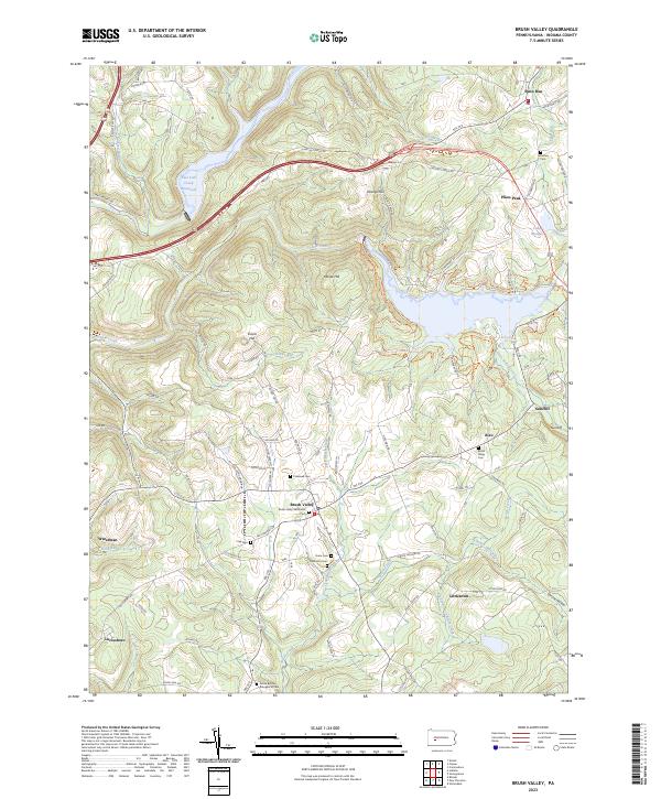
2023 Brush Valley
Indiana County, PA
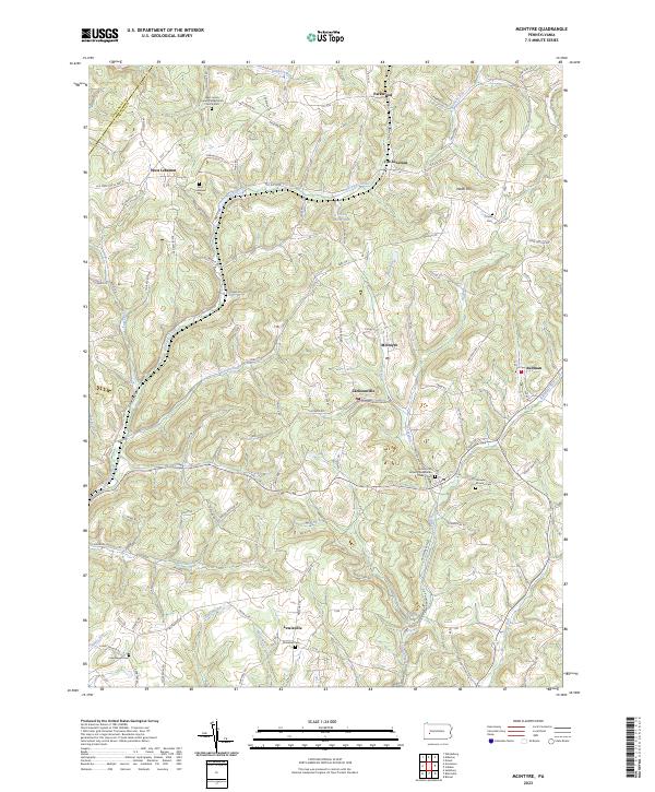
2023 McIntyre
Indiana County, PA
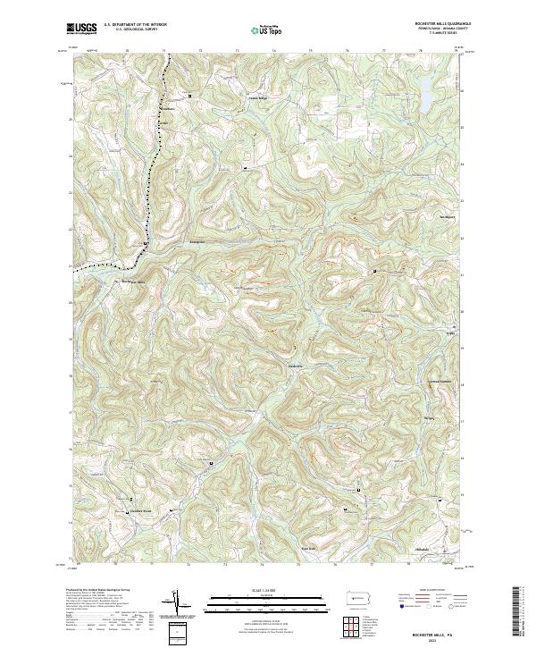
2023 Rochester Mills
Indiana County, PA
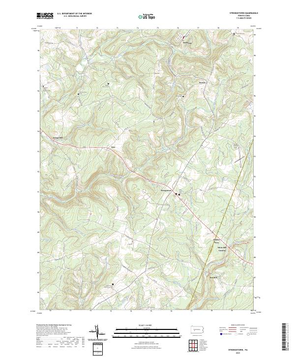
2023 Strongstown
Indiana County, PA
Featured Locations
- East Carroll Township, PA
- Northern Cambria, PA
- Cherry Tree, PA
- Brush Valley Township, PA
- Rayne Township, PA