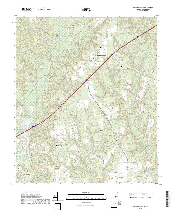
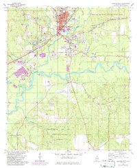
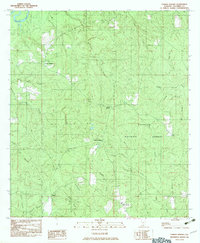
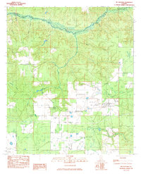
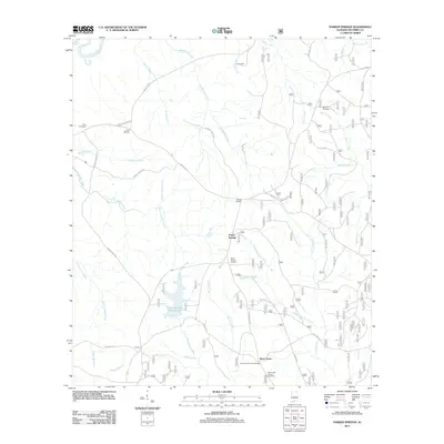
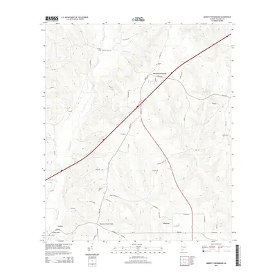
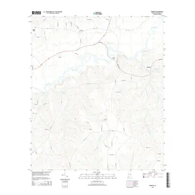
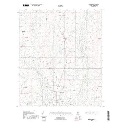
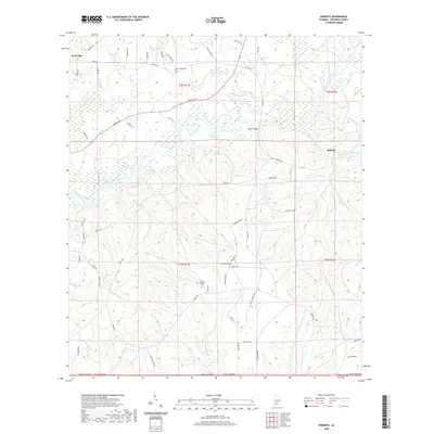
2024 Map of Barnett Crossroads
USGS Topo · Published 2024About this map
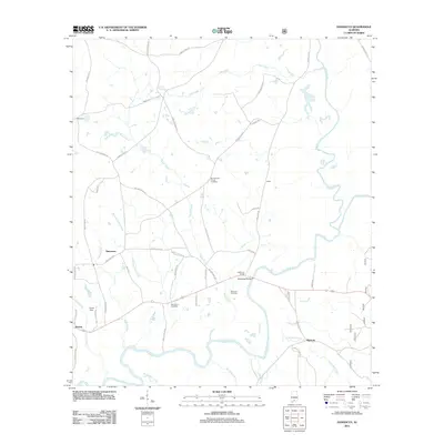
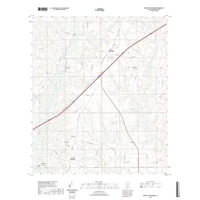
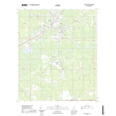
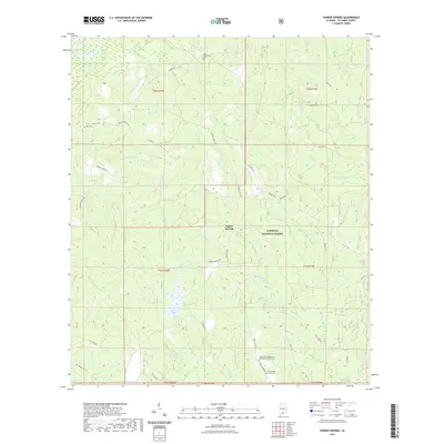
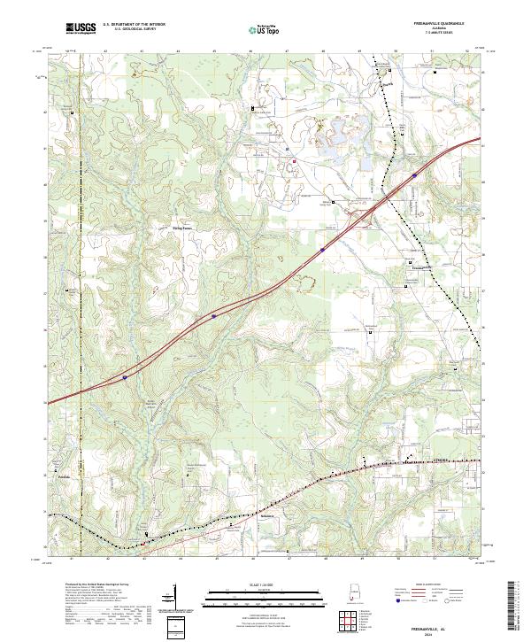
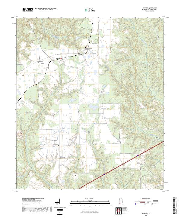
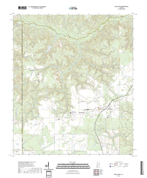
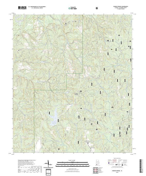
Barnett Crossroads and Stanley Crossroads serve as the primary navigational anchors in this rural pocket of Escambia County, where a network of family-named roads like Eric Odom Rd and Hendricks Emmons Rd reveals the deep-rooted local heritage. The landscape is defined by the winding course of Big Escambia Creek and its many tributaries, including Broken-leg Creek and Robinson Creek. These watercourses create a complex drainage pattern through the lowlands, influencing the placement of early settlements and small community hubs.
Find a feature on this map
56 named features on this map. Tap any name to fly to it.
Don’t see what you’re looking for? This feature index may not catch every label — zoom into the map to look around manually.
Map Details
Editions of this 2024 Barnett Crossroads Map
This is the sole edition of this map. No revisions or reprints were ever made.
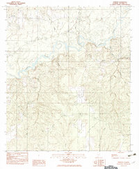
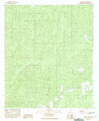
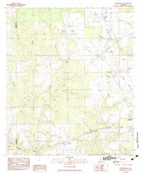
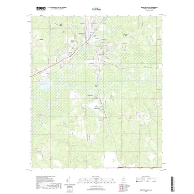
Historical Maps of Barnett Crossroads Through Time
69 maps found

1921 Fort Barrancas
Escambia County, AL

1921 Muscogee
Escambia County, AL
1959 Brewton South
Escambia County, AL
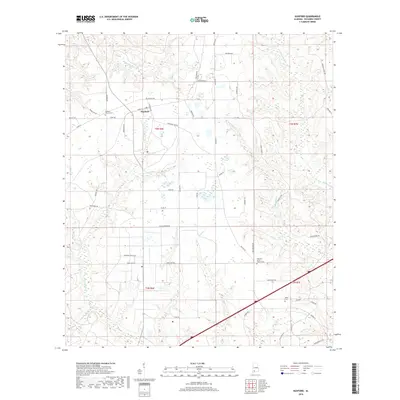
1960 Barnett Crossroads
Escambia County, AL
1960 Brewton North
Escambia County, AL
1960 Brewton South
Escambia County, AL
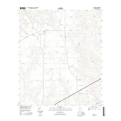
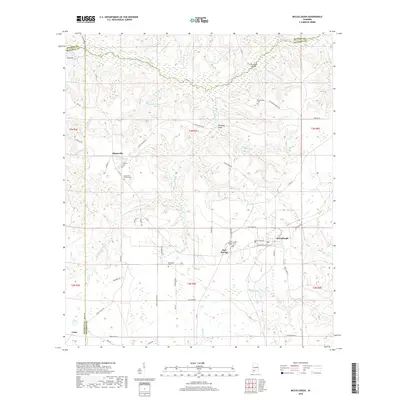
1960 Huxford
Escambia County, AL
1960 Wallace
Escambia County, AL
1982 Damascus
Escambia County, AL
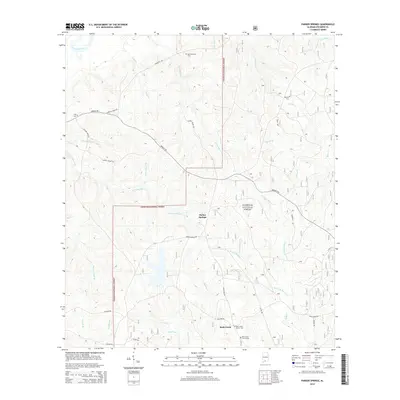
1982 Parker Springs
Escambia County, AL
1982 Roberts
Escambia County, AL
1982 Shipps Creek
Escambia County, AL
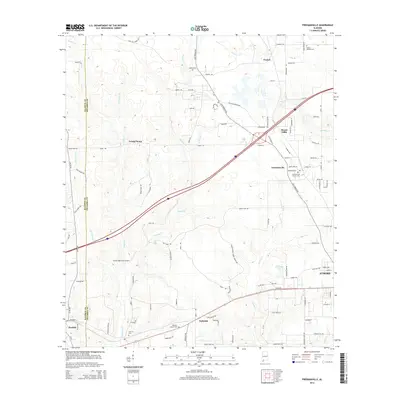
1983 Freemanville
Escambia County, AL
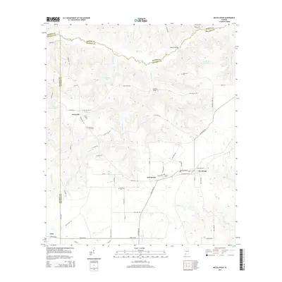
1983 McCullough
Escambia County, AL
2011 Barnett Crossroads
Escambia County, AL
2011 Brewton North
Escambia County, AL
2011 Brewton South
Escambia County, AL
2011 Damascus
Escambia County, AL
2011 Freemanville
Escambia County, AL
2011 Huxford
Escambia County, AL
2011 McCullough
Escambia County, AL
2011 Parker Springs
Escambia County, AL
2011 Roberts
Escambia County, AL
2011 Shipps Creek
Escambia County, AL
2011 Wallace
Escambia County, AL
2014 Barnett Crossroads
Escambia County, AL
2014 Brewton North
Escambia County, AL
2014 Brewton South
Escambia County, AL
2014 Damascus
Escambia County, AL
2014 Freemanville
Escambia County, AL
2014 Huxford
Escambia County, AL
2014 McCullough
Escambia County, AL
2014 Parker Springs
Escambia County, AL
2014 Roberts
Escambia County, AL
2014 Shipps Creek
Escambia County, AL
2014 Wallace
Escambia County, AL
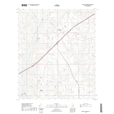
2018 Barnett Crossroads
Escambia County, AL
2018 Brewton North
Escambia County, AL
2018 Brewton South
Escambia County, AL
2018 Damascus
Escambia County, AL
2018 Freemanville
Escambia County, AL
2018 Huxford
Escambia County, AL
2018 McCullough
Escambia County, AL
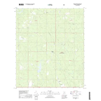
2018 Parker Springs
Escambia County, AL
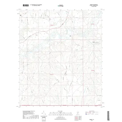
2018 Roberts
Escambia County, AL
2018 Shipps Creek
Escambia County, AL
2018 Wallace
Escambia County, AL
2020 Barnett Crossroads
Escambia County, AL
2020 Brewton North
Escambia County, AL
2020 Brewton South
Escambia County, AL
2020 Freemanville
Escambia County, AL
2020 Huxford
Escambia County, AL
2020 McCullough
Escambia County, AL
2020 Roberts
Escambia County, AL
2020 Shipps Creek
Escambia County, AL
2020 Wallace
Escambia County, AL
2021 Damascus
Escambia County, AL
2021 Parker Springs
Escambia County, AL
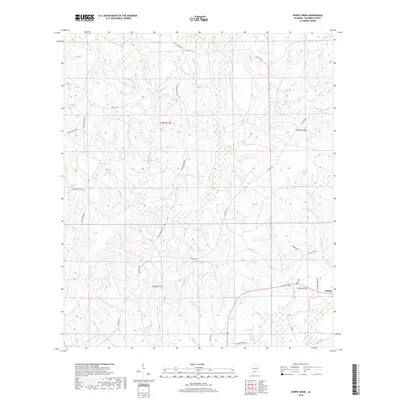
2024 Barnett Crossroads
Escambia County, AL
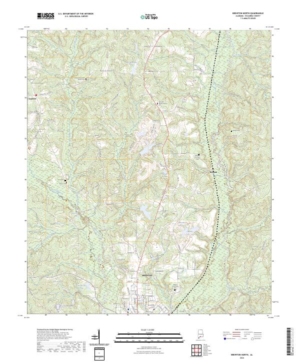
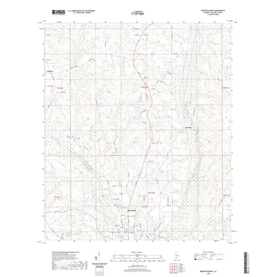
2024 Brewton North
Escambia County, AL
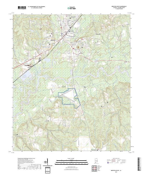
2024 Brewton South
Escambia County, AL
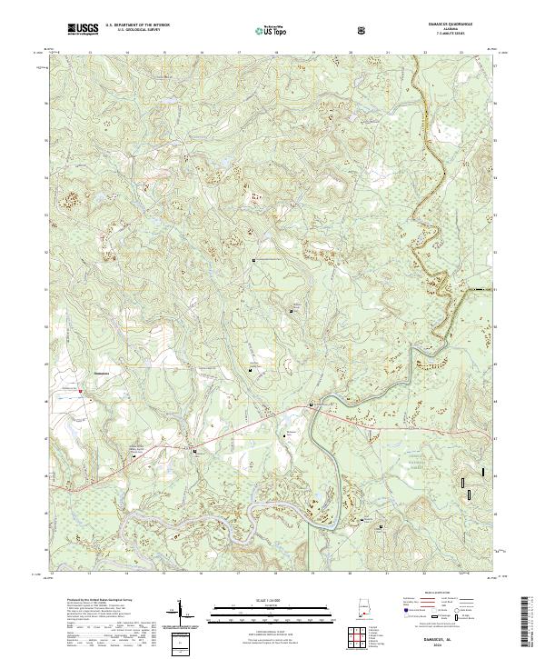
2024 Damascus
Escambia County, AL
2024 Freemanville
Escambia County, AL
2024 Huxford
Escambia County, AL
2024 McCullough
Escambia County, AL
2024 Parker Springs
Escambia County, AL
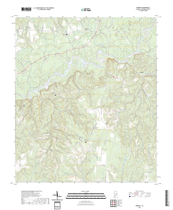
2024 Roberts
Escambia County, AL
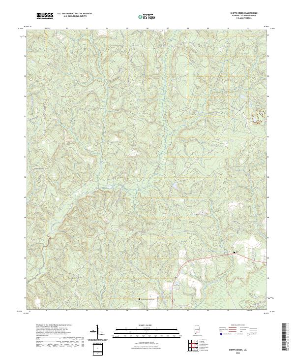
2024 Shipps Creek
Escambia County, AL
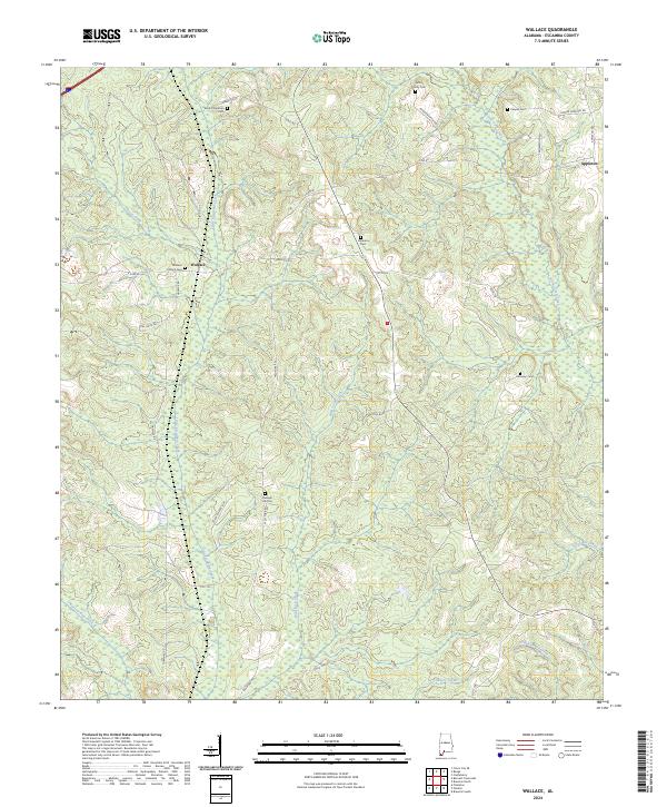
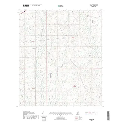
2024 Wallace
Escambia County, AL