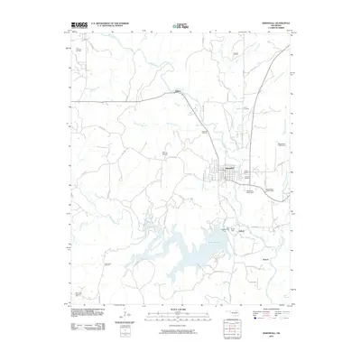
2010 Map of Barnsdall
USGS Topo · Published 2010About this map
Barnsdall stands as the primary hub in this Osage County landscape, where the local economy and geography are deeply intertwined with the petroleum industry. The surrounding territory is marked by numerous active areas of extraction, including the Barnsdall Oil Field and the West Barnsdall Oil Field, alongside the Quapaw Oil Field and East Pershing Oil Field to the north. These sites reflect a long history of resource development that has shaped the growth of nearby settlements like Tallant and Gilland.
Find a feature on this map
53 named features on this map. Tap any name to fly to it.
Don’t see what you’re looking for? This feature index may not catch every label — zoom into the map to look around manually.
Map Details
Editions of this 2010 Barnsdall Map
This is the sole edition of this map. No revisions or reprints were ever made.
Other maps of this area

1906 · Nelagoney
USGS Topo · 1:24,000

1909 · Pawhuska
USGS Topo · 1:125,000

1910 · Pawhuska
USGS Topo · 1:125,000

1912 · Hominy
USGS Topo · 1:125,000

1915 · Hominy
USGS Topo · 1:125,000

1915 · Hominy
USGS Topo · 1:62,500

1955 · Enid
USGS Topo · 1:250,000

1958 · Enid
USGS Topo · 1:250,000

1960 · Nelagoney
USGS Topo · 1:24,000

1960 · Pawhuska
USGS Topo · 1:24,000