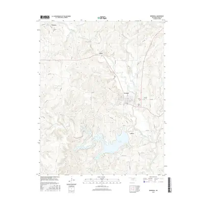
2016 Map of Barnsdall
USGS Topo · Published 2016About this map
Barnsdall serves as the central hub of this Osage County landscape, situated where the terrain begins to break into the drainage systems of Bird Creek and Chateau Creek. The town's layout is clearly defined by its street grid, including W Chestnut Ave and Oak Ave, while the surrounding hills are dotted with several small burial grounds that provide a clear look at local family history and settlement patterns. These include the Barnsdall City Cem, Reece Cem, and the James Bigheart Cem located just south of the main township.
Find a feature on this map
60 named features on this map. Tap any name to fly to it.
Don’t see what you’re looking for? This feature index may not catch every label — zoom into the map to look around manually.
Map Details
Editions of this 2016 Barnsdall Map
This is the sole edition of this map. No revisions or reprints were ever made.
Other maps of this area

1906 · Nelagoney
USGS Topo · 1:24,000

1909 · Pawhuska
USGS Topo · 1:125,000

1910 · Pawhuska
USGS Topo · 1:125,000

1912 · Hominy
USGS Topo · 1:125,000

1915 · Hominy
USGS Topo · 1:125,000

1915 · Hominy
USGS Topo · 1:62,500

1955 · Enid
USGS Topo · 1:250,000

1958 · Enid
USGS Topo · 1:250,000

1960 · Nelagoney
USGS Topo · 1:24,000

1960 · Pawhuska
USGS Topo · 1:24,000