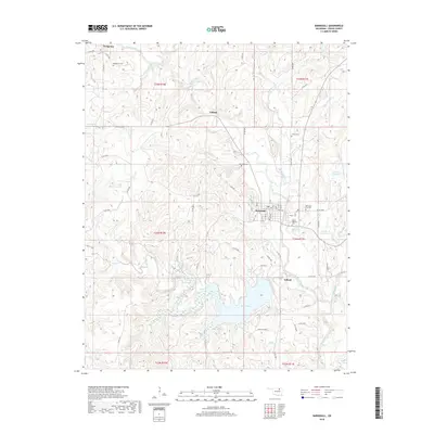
2018 Map of Barnsdall
USGS Topo · Published 2018About this map
Barnsdall serves as the primary hub in this Osage County landscape, where the street grid of Oak Ave and Cedar Ave meets the winding path of Bird Creek. The area is notably dense with small family and community burial grounds, including the James Bigheart Cem and Reece Cem, which offer significant touchpoints for genealogical research. To the south, the expansion of Birch Lake and Lake Acc has reshaped the local topography around Birch Creek, creating a large reservoir system that dominates the lower half of the quadrangle.
Find a feature on this map
58 named features on this map. Tap any name to fly to it.
Don’t see what you’re looking for? This feature index may not catch every label — zoom into the map to look around manually.
Map Details
Editions of this 2018 Barnsdall Map
This is the sole edition of this map. No revisions or reprints were ever made.
Other maps of this area

1906 · Nelagoney
USGS Topo · 1:24,000

1909 · Pawhuska
USGS Topo · 1:125,000

1910 · Pawhuska
USGS Topo · 1:125,000

1912 · Hominy
USGS Topo · 1:125,000

1915 · Hominy
USGS Topo · 1:125,000

1915 · Hominy
USGS Topo · 1:62,500

1955 · Enid
USGS Topo · 1:250,000

1958 · Enid
USGS Topo · 1:250,000

1960 · Nelagoney
USGS Topo · 1:24,000

1960 · Pawhuska
USGS Topo · 1:24,000