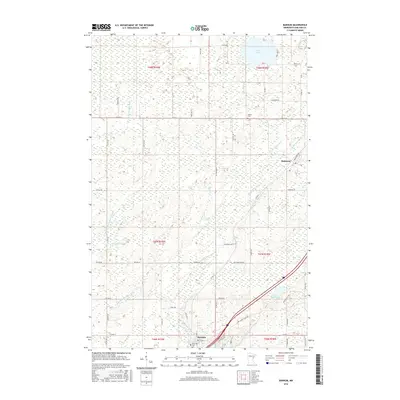
2016 Map of Barnum
USGS Topo · Published 2016About this map
Barnum and Mahtowa serve as the primary hubs in this Carlton County landscape, where the meandering Moose Horn River and its various branches, including the W Fork Moose Horn River, dictate the local geography. The area is defined by a dense network of township and county roads that navigate a complex system of wetlands and small water bodies. Notable landmarks for genealogical research include Riverside Cem near the banks of the river in Barnum and Salem Cem further north. Recreational and natural features like Park Lake, Lake Twentynine, and Bear Lake are interspersed among the surveyed sections. Industrial and local transit routes, such as Industrial Rd in Mahtowa, highlight the small-town infrastructure that supports this region of Minnesota. The map also identifies specific water management areas like Ninefeldt Pool, illustrating the specialized hydrology of the upper Moose Horn drainage.
Find a feature on this map
64 named features on this map. Tap any name to fly to it.
Don’t see what you’re looking for? This feature index may not catch every label — zoom into the map to look around manually.
Map Details
Editions of this 2016 Barnum Map
This is the sole edition of this map. No revisions or reprints were ever made.
Other maps of this area

1953 · Duluth
USGS Topo · 1:250,000

1954 · Atkinson
USGS Topo · 1:24,000

1954 · Iverson
USGS Topo · 1:24,000

1954 · Sawyer
USGS Topo · 1:24,000

1956 · Barnum
USGS Topo · 1:62,500

1958 · Duluth
USGS Topo · 1:250,000

1961 · Cromwell
USGS Topo · 1:62,500

1961 · Moose Lake
USGS Topo · 1:62,500

1962 · Bruno
USGS Topo · 1:62,500

1980 · Sandstone
USGS Topo · 1:100,000