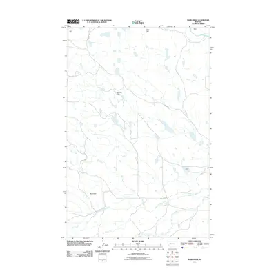
2011 Map of Barr Creek
USGS Topo · Published 2011About this map
Morris Ranch sits in the northeastern corner of this Montana landscape, where the Sun River winds through the terrain near the foothills. The area is defined by its complex drainage systems and water management, featuring several significant waterways including Barr Creek, Rose Creek, and the North Fork Willow Creek. Two specific engineering points, Sassafras Dam and Porrini Dam, manage the local water flow, supporting the ranching operations that characterize this region of Lewis and Clark County.
Find a feature on this map
15 named features on this map. Tap any name to fly to it.
Don’t see what you’re looking for? This feature index may not catch every label — zoom into the map to look around manually.
Map Details
Editions of this 2011 Barr Creek Map
This is the sole edition of this map. No revisions or reprints were ever made.
Other maps of this area

1903 · Saypo
USGS Topo · 1:125,000

1903 · Coopers Lake
USGS Topo · 1:125,000

1920 · Choteau
USGS Topo · 1:125,000

1943 · Hogan
USGS Topo · 1:125,000

1955 · Choteau
USGS Topo · 1:250,000

1957 · Choteau
USGS Topo · 1:250,000

1958 · Choteau
USGS Topo · 1:250,000

1958 · Barr Creek
USGS Topo · 1:24,000

1958 · Sawtooth Ridge
USGS Topo · 1:24,000

1958 · Castle Reef
USGS Topo · 1:24,000