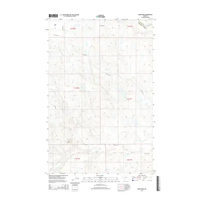
2014 Map of Barr Creek
USGS Topo · Published 2014About this map
The Sun River flows through the northeastern corner of this terrain where the Teton County and Lewis and Clark County line meets. This 2014 survey documents a landscape defined by significant water management and geological formations, most notably the Willow Cr Feeder Canal which cuts across the northwest. The presence of Black Reef and Black Butte provides prominent landmarks for navigation across the high plains. Numerous seasonal and perennial drainages including Rose Creek, Barr Creek, and Eddie Creek form a complex hydrological network that feeds into the North Fork Willow Creek system. This data reflects the modern agricultural and ranching infrastructure of the region, where roads like Sun Canyon Road and Black Reef Road provide access to the expansive Alkali Flat.
Find a feature on this map
23 named features on this map. Tap any name to fly to it.
Don’t see what you’re looking for? This feature index may not catch every label — zoom into the map to look around manually.
Map Details
Editions of this 2014 Barr Creek Map
This is the sole edition of this map. No revisions or reprints were ever made.
Other maps of this area

1903 · Saypo
USGS Topo · 1:125,000

1903 · Coopers Lake
USGS Topo · 1:125,000

1920 · Choteau
USGS Topo · 1:125,000

1943 · Hogan
USGS Topo · 1:125,000

1955 · Choteau
USGS Topo · 1:250,000

1957 · Choteau
USGS Topo · 1:250,000

1958 · Choteau
USGS Topo · 1:250,000

1958 · Barr Creek
USGS Topo · 1:24,000

1958 · Sawtooth Ridge
USGS Topo · 1:24,000

1958 · Castle Reef
USGS Topo · 1:24,000