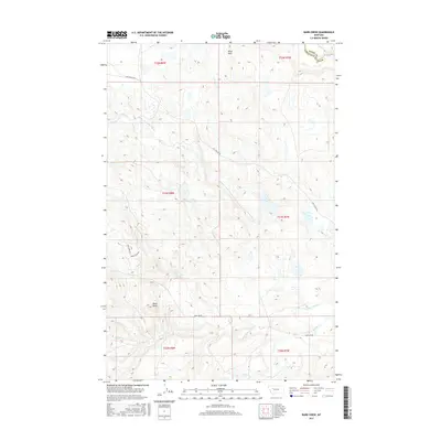
2017 Map of Barr Creek
USGS Topo · Published 2017About this map
Sun River flows through the northern reaches of this Lewis and Clark County landscape, where the plains of Central Montana begin to meet the rising limestone ridges. A complex network of drainages including Barr Creek, Rose Creek, and the North Fork Willow Creek define the topography, illustrating the area's intricate natural hydrology. The high point of Black Butte and the escarpment of Black Reef provide significant landmarks for navigation in this ranching country.
Find a feature on this map
22 named features on this map. Tap any name to fly to it.
Don’t see what you’re looking for? This feature index may not catch every label — zoom into the map to look around manually.
Map Details
Editions of this 2017 Barr Creek Map
This is the sole edition of this map. No revisions or reprints were ever made.
Other maps of this area

1903 · Saypo
USGS Topo · 1:125,000

1903 · Coopers Lake
USGS Topo · 1:125,000

1920 · Choteau
USGS Topo · 1:125,000

1943 · Hogan
USGS Topo · 1:125,000

1955 · Choteau
USGS Topo · 1:250,000

1957 · Choteau
USGS Topo · 1:250,000

1958 · Choteau
USGS Topo · 1:250,000

1958 · Barr Creek
USGS Topo · 1:24,000

1958 · Sawtooth Ridge
USGS Topo · 1:24,000

1958 · Castle Reef
USGS Topo · 1:24,000