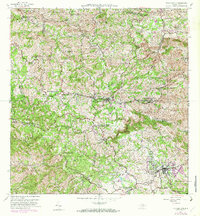
1957 Map of Barranquitas
USGS Topo · Published 1982About this map
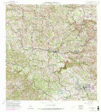
Barranquitas and Aibonito anchor this interior highland region of Puerto Rico, where the terrain is defined by deep river valleys and prominent peaks. The map reveals a robust educational infrastructure during the mid-century, specifically noted by several second-unit schools such as Escuela Segunda Unidad de Frederico Degetau and Escuela Segunda Unidad de Jose Celso Barbosa. These rural school complexes suggest the importance of the barrio system in community life. The landscape is carved by the Rio Usabón and Rio Coamo, with higher elevations marked by landmarks like Cerro Farallon and Piedra de Degetau. Residential patterns follow the winding ridges, connecting smaller settlements like Helechal and Palmarito. Notable local landmarks include the Hacienda Corcega and a Camp de Aviacion, indicating diverse land use ranging from traditional agriculture to more modern utility and transport nodes.
Find a feature on this map
68 named features on this map. Tap any name to fly to it.
Don’t see what you’re looking for? This feature index may not catch every label — zoom into the map to look around manually.
Map Details
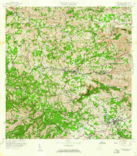
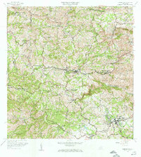
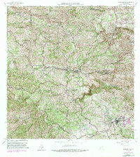
Editions of this 1957 Barranquitas Map
5 editions found
Other maps of this area

1945 · Rio Descalabrado
USGS Topo · 1:30,000

1946 · Coamo
USGS Topo · 1:30,000

1946 · Corozal
USGS Topo · 1:30,000

1946 · Barranquitas
USGS Topo · 1:30,000

1946 · Ciales
USGS Topo · 1:30,000

1946 · Cayey
USGS Topo · 1:30,000

1946 · Comerio
USGS Topo · 1:30,000

1946 · Naranjito
USGS Topo · 1:30,000

1946 · Orocovis
USGS Topo · 1:30,000

1947 · Corozal SO
USGS Topo · 1:10,000