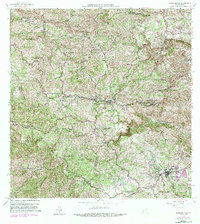
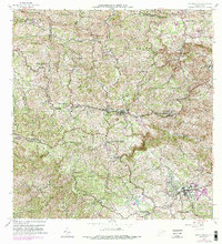
1957 Map of Barranquitas
USGS Topo · Published 1989About this map
The interior highlands of central Puerto Rico are defined by the convergence of steep ridgelines and a network of schools serving rural barrios in the mid-20th century. Centered on Barranquitas, the landscape transitions from the headwaters of the Rio Grande de Manati to the high peaks of Cerro La Torrecilla and Cerro Gordo. This 1957 revision reveals a series of educational centers including the Escuela Segunda Unidad de Federico Degetau and the Escuela Segunda Unidad de Tomas Berrios Berdecia, reflecting the era's focus on agricultural and community education. To the south, the town of Aibonito is detailed with its surrounding neighborhoods of Pueblo Norte and Pueblo Sur. The intricate road system, including the early routes of 156 and 155, highlights how these mountain settlements remained connected through difficult topography punctuated by landmarks like Hacienda Correa and the Campamento Aviacion.
Find a feature on this map
60 named features on this map. Tap any name to fly to it.
Don’t see what you’re looking for? This feature index may not catch every label — zoom into the map to look around manually.
Map Details
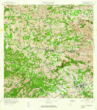
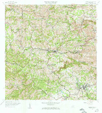
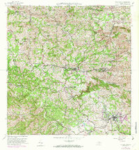
Editions of this 1957 Barranquitas Map
5 editions found
Other maps of this area

1945 · Rio Descalabrado
USGS Topo · 1:30,000

1946 · Coamo
USGS Topo · 1:30,000

1946 · Corozal
USGS Topo · 1:30,000

1946 · Barranquitas
USGS Topo · 1:30,000

1946 · Ciales
USGS Topo · 1:30,000

1946 · Cayey
USGS Topo · 1:30,000

1946 · Comerio
USGS Topo · 1:30,000

1946 · Naranjito
USGS Topo · 1:30,000

1946 · Orocovis
USGS Topo · 1:30,000

1947 · Corozal SO
USGS Topo · 1:10,000
Featured Places
- Aibonito
- Barranquitas
- Sector Los Pinos, Aibonito
- Parcelas de Helechal, Barranquitas
- Comunidad Bárbara Santiago, Barranquitas