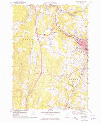
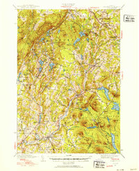
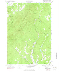
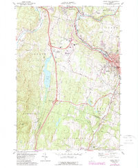
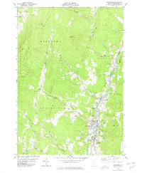
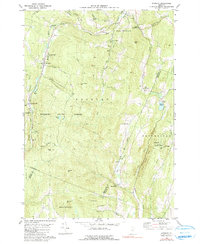
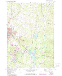
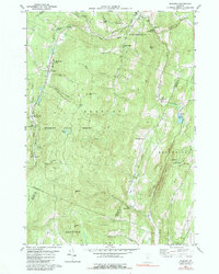
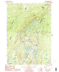
1978 Map of Barre West
USGS Topo · Published 1979This historical map portrays the area of Barre West in 1978, primarily covering Washington County as well as portions of Orange County. Featuring a scale of 1:24000, this map provides a highly detailed snapshot of the terrain, roads, buildings, counties, and historical landmarks in the Barre West region at the time. Published in 1979, it is one of 3 known editions of this map due to revisions or reprints.
Find a feature on this map
64 named features on this map. Tap any name to fly to it.
Don’t see what you’re looking for? This feature index may not catch every label — zoom into the map to look around manually.
Map Details
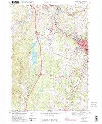
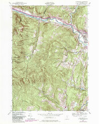
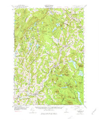
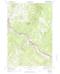
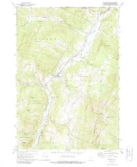
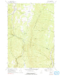
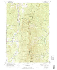
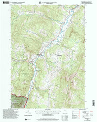
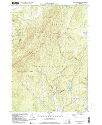
Editions of this 1978 Barre West Map
3 editions found
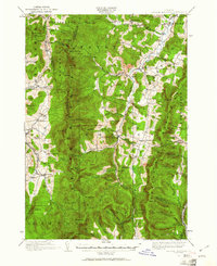
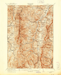
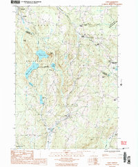
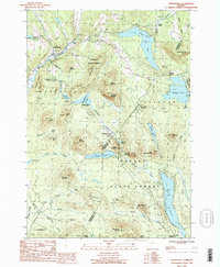
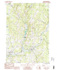
Historical Maps of East Montpelier Through Time
26 maps found
1919 Lincoln Mountain
Washington County, VT

1920 Lincoln Mountain
Washington County, VT
1921 Lincoln Mountain
Washington County, VT

1939 Plainfield
Washington County, VT
1940 Plainfield
Washington County, VT

1943 Plainfield
Washington County, VT
1948 Waterbury
Washington County, VT
1953 Plainfield
Washington County, VT
1968 Middlesex
Washington County, VT
1968 Mount Worcester
Washington County, VT
1970 Waitsfield
Washington County, VT
1970 Warren
Washington County, VT
1971 Mount Ellen
Washington County, VT
1978 Barre West
Washington County, VT
1980 Northfield
Washington County, VT
1980 Roxbury
Washington County, VT
1981 Barre East
Washington County, VT
1984 Roxbury
Washington County, VT
1986 Cabot
Washington County, VT
1986 Marshfield
Washington County, VT
1986 Plainfield
Washington County, VT
1986 Woodbury
Washington County, VT

1997 Mount Ellen
Washington County, VT
1997 Waitsfield
Washington County, VT

1997 Warren
Washington County, VT
1999 Mount Worcester
Washington County, VT