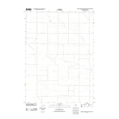
2011 Map of Barrel Springs Creek North
USGS Topo · Published 2011About this map
Point of Rocks Creek and its major tributaries define this portion of the Nebraska High Plains in Box Butte County. The landscape is characterized by a precise grid of rural section roads, including Hall Rd, Hayes Rd, and Madison Rd, which facilitate movement across this expansive agricultural terrain. The drainage network is particularly notable, with the North Branch and South Branch of the creek converging as they wind through the territory. A small but significant water management feature, Hansen Dam, sits north of Hayes Road, illustrating local efforts to harness surface water in an environment where moisture is a critical resource. This survey provides a clear look at the modern rural infrastructure of the region, emphasizing the intersection of natural hydrology and the rectilinear human imprint of the section line system.
Find a feature on this map
18 named features on this map. Tap any name to fly to it.
Don’t see what you’re looking for? This feature index may not catch every label — zoom into the map to look around manually.
Map Details
Editions of this 2011 Barrel Springs Creek North Map
This is the sole edition of this map. No revisions or reprints were ever made.
Other maps of this area

1946 · Nonpareil
USGS Topo · 1:24,000

1948 · Hemingford
USGS Topo · 1:24,000

1948 · Hemingford 4 SW
USGS Topo · 1:24,000

1948 · Hemingford 4 SE
USGS Topo · 1:24,000

1948 · Hemingford 4 NE
USGS Topo · 1:24,000

1948 · Hemingford 4 NW
USGS Topo · 1:24,000

1948 · Nonpareil
USGS Topo · 1:24,000

1951 · Marsland
USGS Topo · 1:62,500

1951 · Kilpatrick Lake
USGS Topo · 1:62,500

1955 · Alliance
USGS Topo · 1:250,000