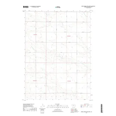
2017 Map of Barrel Springs Creek North
USGS Topo · Published 2017About this map
Point of Rocks Cr and its northern and southern branches carve a distinct drainage pattern across this high plains landscape of Box Butte County. The terrain is defined by a systematic grid of section lines and gravel roads, including Hall Rd and Madison Rd, which reflect the enduring legacy of the Public Land Survey System. This 2017 survey illustrates the rural character of western Nebraska, where the open range is partitioned into vast townships such as t26n r51w and t26n r50w. The network of local routes like Jefferson Rd and Keith Rd provides a clear view of how modern land use and transportation continue to follow the historical boundaries established by early homesteaders and ranchers in this corner of the state.
Find a feature on this map
19 named features on this map. Tap any name to fly to it.
Don’t see what you’re looking for? This feature index may not catch every label — zoom into the map to look around manually.
Map Details
Editions of this 2017 Barrel Springs Creek North Map
This is the sole edition of this map. No revisions or reprints were ever made.
Other maps of this area

1946 · Nonpareil
USGS Topo · 1:24,000

1948 · Hemingford
USGS Topo · 1:24,000

1948 · Hemingford 4 SW
USGS Topo · 1:24,000

1948 · Hemingford 4 SE
USGS Topo · 1:24,000

1948 · Hemingford 4 NE
USGS Topo · 1:24,000

1948 · Hemingford 4 NW
USGS Topo · 1:24,000

1948 · Nonpareil
USGS Topo · 1:24,000

1951 · Marsland
USGS Topo · 1:62,500

1951 · Kilpatrick Lake
USGS Topo · 1:62,500

1955 · Alliance
USGS Topo · 1:250,000