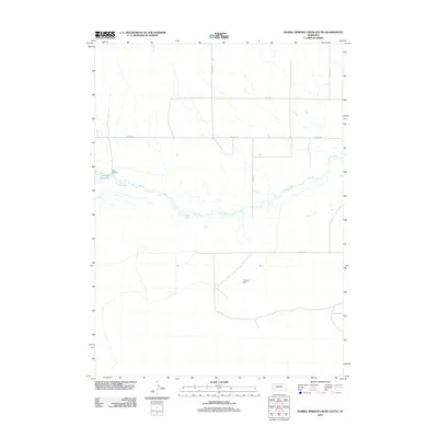
2011 Map of Barrel Springs Creek South
USGS Topo · Published 2011About this map
Snake Creek meanders through the heart of this section of Box Butte County, defining a landscape marked by essential water management in an arid Nebraska environment. The 2011 survey highlights small-scale ranching and agricultural infrastructure, notably the Cook SE Reservoir and its associated Cook SE Dam in the western reaches. Further east, the Tiernan Dam provides another point of water control along the drainage basins. The local transport network is characterized by a precise grid of section-line roads, including Otoe Rd, Perkins Rd, and Thomas Rd, which facilitate movement across the High Plains terrain. This map serves as a clear record of land use and water engineering in the early 21st century.
Find a feature on this map
10 named features on this map. Tap any name to fly to it.
Don’t see what you’re looking for? This feature index may not catch every label — zoom into the map to look around manually.
Map Details
Editions of this 2011 Barrel Springs Creek South Map
This is the sole edition of this map. No revisions or reprints were ever made.
Other maps of this area

1898 · Camp Clarke
USGS Topo · 1:125,000

1948 · Hemingford 4 SW
USGS Topo · 1:24,000

1948 · Hemingford 4 SE
USGS Topo · 1:24,000

1948 · Hemingford 4 NE
USGS Topo · 1:24,000

1948 · Hemingford 4 NW
USGS Topo · 1:24,000

1951 · Kilpatrick Lake
USGS Topo · 1:62,500

1954 · Scottsbluff
USGS Topo · 1:250,000

1955 · Alliance
USGS Topo · 1:250,000

1957 · Alliance
USGS Topo · 1:250,000

1958 · Alliance
USGS Topo · 1:250,000