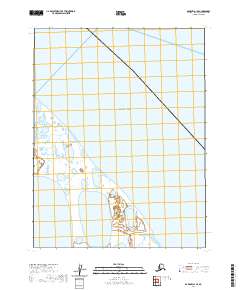
2020 Map of Barrow A-1 SE
USGS Topo · Published 2020About this map
The Beaufort Sea dominates the northern and eastern portions of this coastal landscape on the edge of the Arctic Ocean. The terrain is characterized by a dense network of wetlands and shallow water bodies typical of the North Slope, including the prominent Sinclair Lake in the southwestern quadrant. This survey reveals a remote stretch of the Alaska coastline where land and water intermingle, defined by the Public Land Survey System boundaries of t21n r11w, t20n r11w, and t19n r11w. While devoid of modern roads or settlements, the map provides precise data on the shifting hydrology and shoreline of this environmentally sensitive region during the early twenty-first century.
Find a feature on this map
6 named features on this map. Tap any name to fly to it.
Don’t see what you’re looking for? This feature index may not catch every label — zoom into the map to look around manually.
Map Details
Editions of this 2020 Barrow A-1 SE Map
This is the sole edition of this map. No revisions or reprints were ever made.
Other maps of this area

1945 · Barrow
USGS Topo · 1:250,000

1949 · Barrow
USGS Topo · 1:250,000

1951 · Teshekpuk
USGS Topo · 1:250,000

1955 · Barrow
USGS Topo · 1:250,000

1955 · Teshekpuk
USGS Topo · 1:250,000
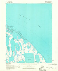
1955 · Barrow A-1
USGS Topo · 1:63,360
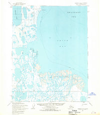
1955 · Teshekpuk D-3
USGS Topo · 1:63,360

1955 · Teshekpuk D-4
USGS Topo · 1:63,360
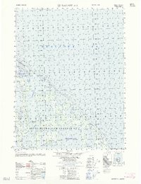
1962 · Barrow A-1
USGS Topo · 1:50,000

1964 · Teshekpuk
USGS Topo · 1:250,000