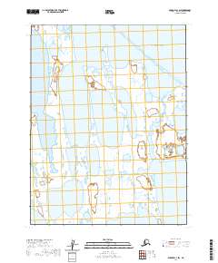
2020 Map of Barrow A-1 SW
USGS Topo · Published 2020About this map
Beaufort Sea waters dominate the northern horizon of this coastal survey, where the low-lying tundra of the North Slope meets a complex network of inlets and river systems. The landscape is defined by the massive reach of Admiralty Bay and the smaller McKay Inlet, illustrating the intricate shoreline typical of this Arctic region. To the east, the Sinclair River flows toward its outlet, passing near Sinclair Lake in a terrain saturated with seasonal wetlands and thermokarst lakes. This 2020 edition provides a clear record of the hydrologic patterns and coastal geomorphology near Fatigue Bay, offering researchers a baseline for studying the shifting interfaces of land and water in one of the most northern reaches of Alaska.
Find a feature on this map
12 named features on this map. Tap any name to fly to it.
Don’t see what you’re looking for? This feature index may not catch every label — zoom into the map to look around manually.
Map Details
Editions of this 2020 Barrow A-1 SW Map
This is the sole edition of this map. No revisions or reprints were ever made.
Other maps of this area

1945 · Barrow
USGS Topo · 1:250,000

1949 · Barrow
USGS Topo · 1:250,000

1951 · Teshekpuk
USGS Topo · 1:250,000

1955 · Barrow A-2
USGS Topo · 1:63,360

1955 · Barrow
USGS Topo · 1:250,000

1955 · Teshekpuk
USGS Topo · 1:250,000
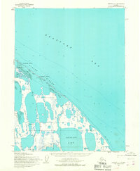
1955 · Barrow A-1
USGS Topo · 1:63,360
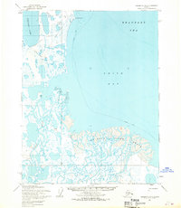
1955 · Teshekpuk D-3
USGS Topo · 1:63,360

1955 · Teshekpuk D-4
USGS Topo · 1:63,360
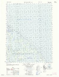
1962 · Barrow A-1
USGS Topo · 1:50,000