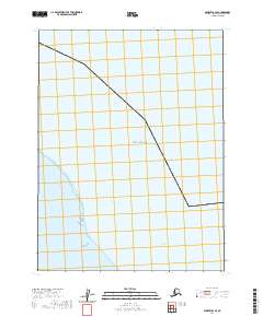
2020 Map of Barrow B-3 SE
USGS Topo · Published 2020About this map
The Beaufort Sea coast dominates this Arctic landscape on the North Slope, where the coastline is defined by the narrow Ekilukruak Entrance. This modern survey by the U.S. Geological Survey shows a shoreline and marine environment documented during a period of significant observation in the early 21st century. The map provides a detailed view of the Public Land Survey System divisions, including sections within t23n r15w and t22n r15w, which are critical for understanding land management in this remote region. The absence of roads or permanent settlements emphasizes the character of the Alaskan North Slope as a workspace for environmental monitoring and indigenous land use rather than industrial or urban development.
Find a feature on this map
5 named features on this map. Tap any name to fly to it.
Don’t see what you’re looking for? This feature index may not catch every label — zoom into the map to look around manually.
Map Details
Editions of this 2020 Barrow B-3 SE Map
This is the sole edition of this map. No revisions or reprints were ever made.
Other maps of this area

1945 · Barrow
USGS Topo · 1:250,000

1949 · Barrow
USGS Topo · 1:250,000

1955 · Barrow A-2
USGS Topo · 1:63,360

1955 · Barrow
USGS Topo · 1:250,000

1955 · Barrow A-3
USGS Topo · 1:63,360
1955 · Barrow B-3
USGS Topo · 1:63,360
2016 · Barrow A-3 NE
USGS Topo · 1:25,000
2016 · Barrow A-2 NW
USGS Topo · 1:25,000
2016 · Barrow A-3 NW
USGS Topo · 1:25,000
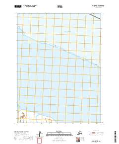
2020 · Barrow B-3 SW
USGS Topo · 1:25,000