Loading...
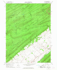
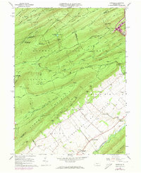
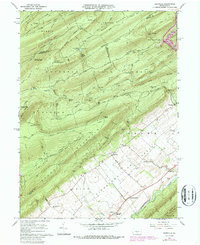
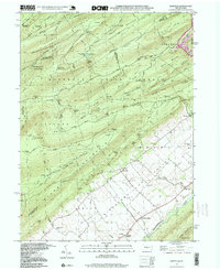
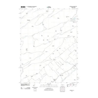
Loading map...1966 Map of Barrville
USGS Topo · Published 1968About this map
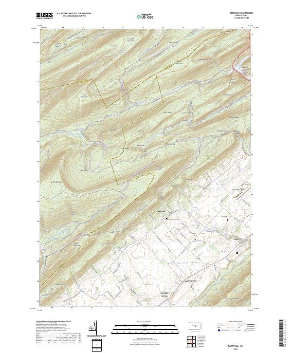
Stone Mountain and Broad Mountain dominate this mid-1960s landscape, creating a series of high ridges and deep valleys such as Big Kettle and Little Kettle Valley. The transition from the densely forested slopes of the Penn Roosevelt State Forest to the agricultural valley floor of Kishacoquillas illustrates the traditional land use patterns of Mifflin County. Small rural hubs like Barrville are visible, containing local landmarks such as the Barrville Sch and a nearby Cem, reflecting a quiet, established community.
Find a feature on this map
98 named features on this map. Tap any name to fly to it.
Don’t see what you’re looking for? This feature index may not catch every label — zoom into the map to look around manually.
Map Details
Date Portrayed1966
Date Published1968
PublisherU.S. Geological Survey
Map TypeTopographic
Scale1:24,000
Physical Dimensions22.1 x 27 inches
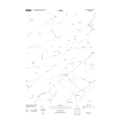
Editions of this 1966 Barrville Map
3 editions found
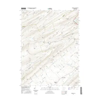
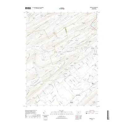
Historical Maps of Granville Township Through Time
8 maps found

Featured Locations
- Jackson Township, PA
- Brown Township, PA
- Granville Township, PA
- Kishacoquillas, Brown Township
- Reedsville, Brown Township
Source Details
SourceU.S. Geological Survey
CopyrightPublic Domain