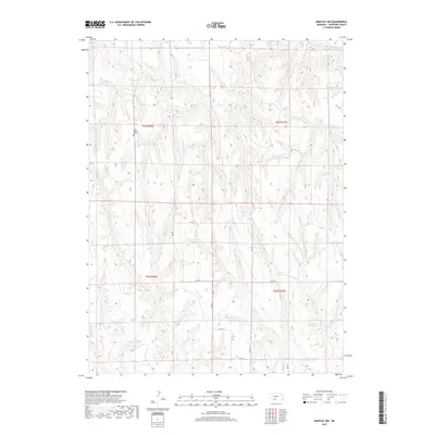
2017 Map of Bartley NW
USGS Topo · Published 2017About this map
Saint Thomas Cem stands as a primary historical landmark in this corner of Frontier County, situated amidst a landscape defined by extensive water management. The area is characterized by a complex network of reservoirs and creek drainages, illustrating the rural infrastructure necessary for land use in this part of the state. Prominent among these are Sughroue Reservoir and the tiered system of the Dry Cr Reservoir 1-B, Dry Cr Reservoir 1-A, and Dry Cr Reservoir 2-A. Smaller waterways like Cedar Cr, Walnut Cr, and Coon Cr carve through the terrain, while the larger Medicine Cr Reservoir 16 occupies the northeastern reaches. This map documents the rural road grid, including routes like RD 730 and RD 395, which connect these essential water sources and the scattered homesteads of the region.
Find a feature on this map
21 named features on this map. Tap any name to fly to it.
Don’t see what you’re looking for? This feature index may not catch every label — zoom into the map to look around manually.
Map Details
Editions of this 2017 Bartley NW Map
This is the sole edition of this map. No revisions or reprints were ever made.
Other maps of this area

1902 · Gothenburg
USGS Topo · 1:125,000

1954 · McCook
USGS Topo · 1:250,000

1956 · Freedom
USGS Topo · 1:24,000

1956 · Quick NE
USGS Topo · 1:24,000

1956 · Curtis SE
USGS Topo · 1:24,000

1956 · Stockville
USGS Topo · 1:24,000

1956 · Bartley NW
USGS Topo · 1:24,000

1956 · Bartley
USGS Topo · 1:24,000

1956 · Stockville SE
USGS Topo · 1:24,000

1957 · McCook
USGS Topo · 1:250,000