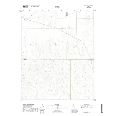
2019 Map of Barton Creek
USGS Topo · Published 2019About this map
Barton Cr and Morgan Cr carve deep drainage patterns through this section of the Texas Panhandle, defining the landscape where Lipscomb, Hemphill, Ochiltree, and Roberts counties converge. The terrain is characterized by the intricate branching of these watercourses, which also include Gibson Cr and Buffalo Cr. This rural expanse is marked by a sparse network of ranching roads, with Locust Grove standing as a primary point of interest in the northeast corner.
Find a feature on this map
14 named features on this map. Tap any name to fly to it.
Don’t see what you’re looking for? This feature index may not catch every label — zoom into the map to look around manually.
Map Details
Editions of this 2019 Barton Creek Map
This is the sole edition of this map. No revisions or reprints were ever made.
Other maps of this area

1954 · Perryton
USGS Topo · 1:250,000

1954 · Amarillo
USGS Topo · 1:250,000

1958 · Perryton
USGS Topo · 1:250,000

1958 · Amarillo
USGS Topo · 1:250,000

1972 · Barton Corners
USGS Topo · 1:24,000

1972 · Horse Creek North
USGS Topo · 1:24,000

1972 · Canadian West
USGS Topo · 1:24,000

1972 · East Dry Creek
USGS Topo · 1:24,000
1972 · Lipscomb SW
USGS Topo · 1:24,000

1973 · Pickett Ranch Creek
USGS Topo · 1:24,000