2021 Map of Barton
USGS Topo · Published 2021About this map
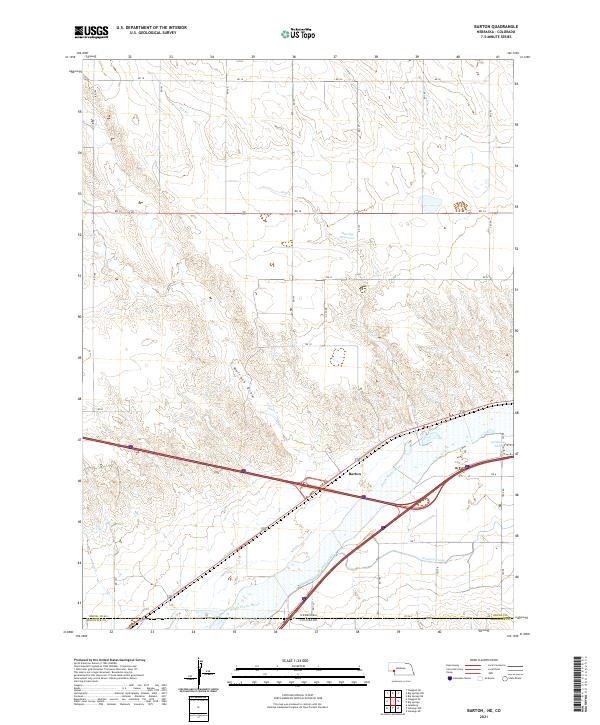
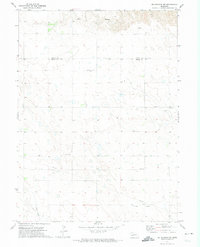
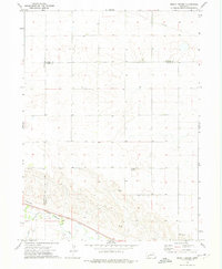
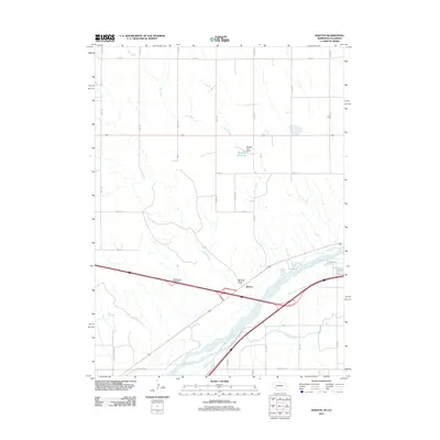
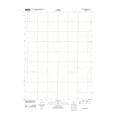
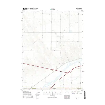
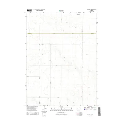
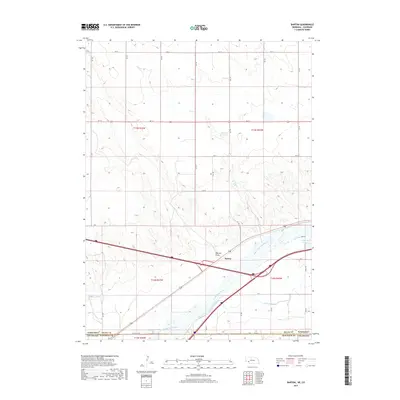
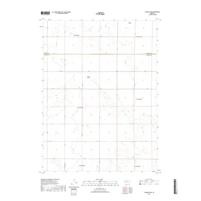
The South Platte River corridor dominates this high plains landscape along the Nebraska and Colorado state line, where the settlement of Barton sits just north of the riverbank. This area is characterized by an extensive irrigation network, notably the Western Canal, which parallels the river's course to support agriculture in this semi-arid region. To the north, the terrain transitions into a series of drainages and seasonal water features, including Walrath Draw, Dry Creek, and the Beasley Reservoir. This 2021 survey illustrates the modern intersection of interstate transportation and traditional water management, showing how contemporary infrastructure like Interstate 80 cuts across the historic township and range lines. Small water bodies like Goldeneye Lake punctuate the landscape, serving as critical points of interest in an otherwise open expanse of section roads and rangeland.
Find a feature on this map
26 named features on this map. Tap any name to fly to it.
Don’t see what you’re looking for? This feature index may not catch every label — zoom into the map to look around manually.
Map Details
Editions of this 2021 Barton Map
This is the sole edition of this map. No revisions or reprints were ever made.
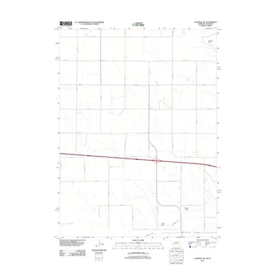
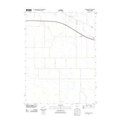
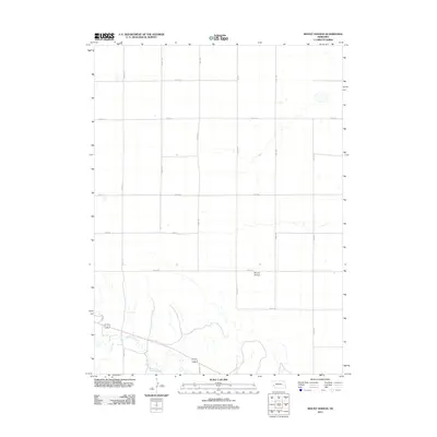
Historical Maps of Barton Through Time
43 maps found
1961 Barton
Deuel County, NE
1961 Chappell SE
Deuel County, NE
1971 Big Springs NE
Deuel County, NE
1971 Big Springs NW
Deuel County, NE
1971 Chappell NE
Deuel County, NE
1971 Chappell NW
Deuel County, NE
1972 Lodgepole SE
Deuel County, NE
1972 Mount Vernon
Deuel County, NE
2010 Barton
Deuel County, NE
2010 Chappell SE
Deuel County, NE
2010 Lodgepole SE
Deuel County, NE
2011 Barton
Deuel County, NE
2011 Big Springs NE
Deuel County, NE
2011 Big Springs NW
Deuel County, NE
2011 Chappell NE
Deuel County, NE
2011 Chappell NW
Deuel County, NE
2011 Chappell SE
Deuel County, NE
2011 Lodgepole SE
Deuel County, NE
2011 Mount Vernon
Deuel County, NE
2014 Barton
Deuel County, NE
2014 Big Springs NE
Deuel County, NE
2014 Big Springs NW
Deuel County, NE
2014 Chappell NE
Deuel County, NE
2014 Chappell NW
Deuel County, NE
2014 Chappell SE
Deuel County, NE
2014 Lodgepole SE
Deuel County, NE
2014 Mount Vernon
Deuel County, NE
2017 Barton
Deuel County, NE
2017 Big Springs NE
Deuel County, NE
2017 Big Springs NW
Deuel County, NE
2017 Chappell NE
Deuel County, NE
2017 Chappell NW
Deuel County, NE
2017 Chappell SE
Deuel County, NE
2017 Lodgepole SE
Deuel County, NE
2017 Mount Vernon
Deuel County, NE
2021 Barton
Deuel County, NE
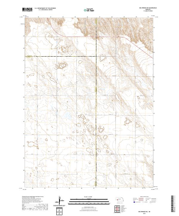
2021 Big Springs NE
Deuel County, NE
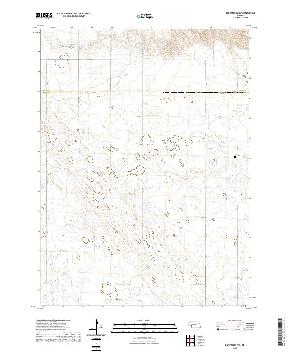
2021 Big Springs NW
Deuel County, NE
2021 Chappell NE
Deuel County, NE
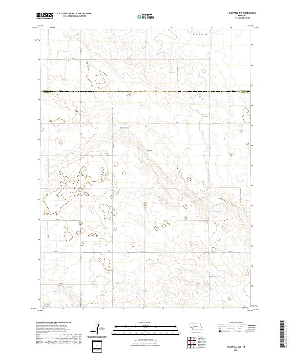
2021 Chappell NW
Deuel County, NE
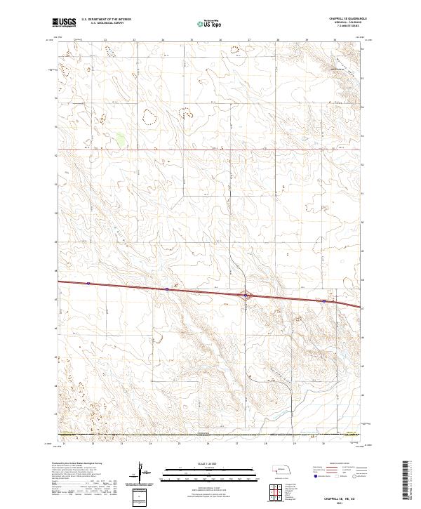
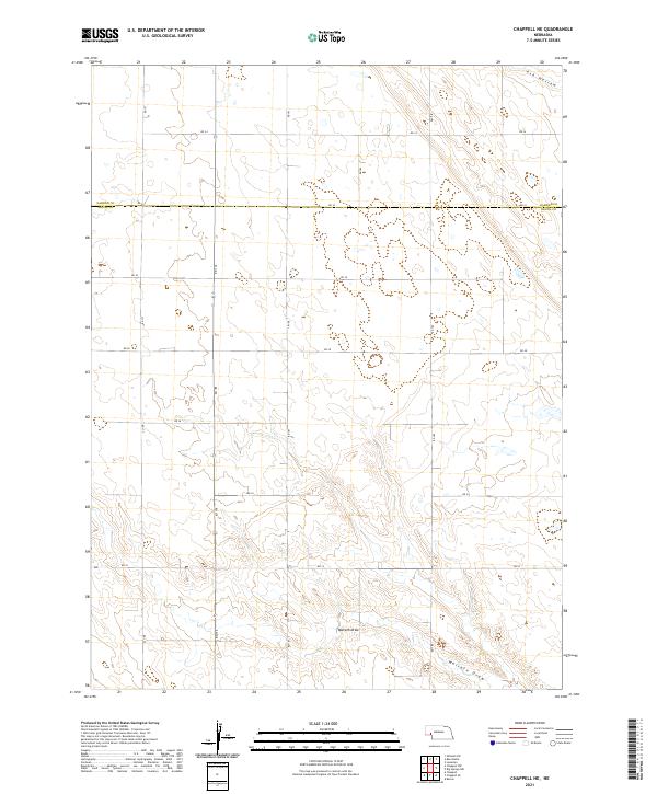
2021 Chappell SE
Deuel County, NE
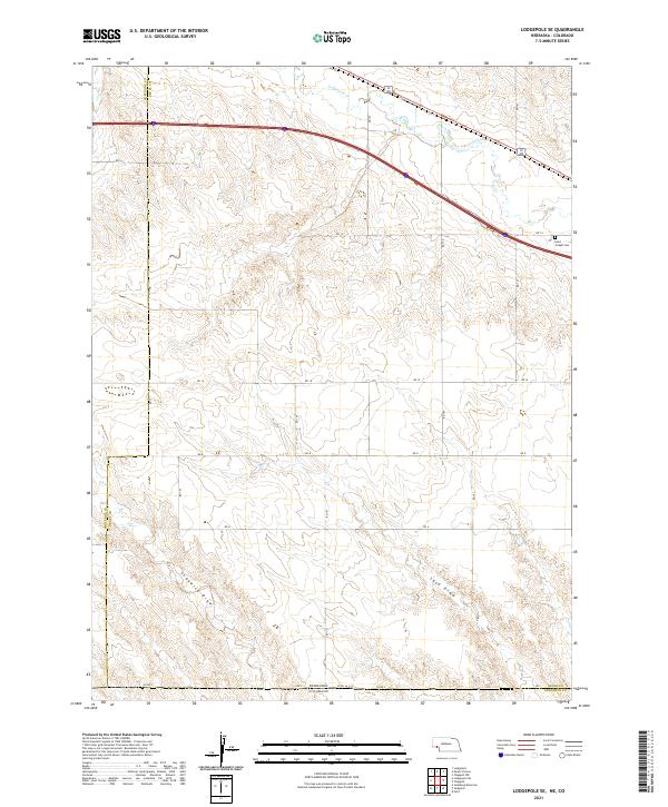
2021 Lodgepole SE
Deuel County, NE
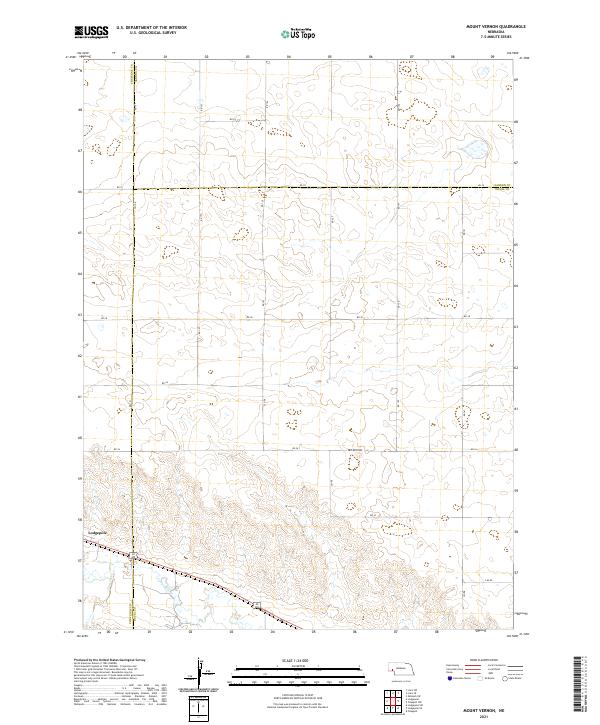
2021 Mount Vernon
Deuel County, NE