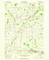
1960 Map of Bascom
USGS Topo · Published 1961About this map
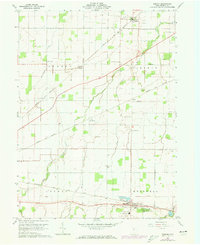
The settlement of Bascom and the surrounding agricultural townships of Jackson, Liberty, Loudon, and Hopewell define this Seneca County landscape in 1960. The area is a hub of mid-century rail and resource extraction, with the New York Chicago and St Louis and Baltimore and Ohio railroads intersecting the terrain. Evidence of local industry is visible in the numerous Quarries near Kansas and a Quarry south of Bascom.
Find a feature on this map
27 named features on this map. Tap any name to fly to it.
Don’t see what you’re looking for? This feature index may not catch every label — zoom into the map to look around manually.
Map Details
Editions of this 1960 Bascom Map
2 editions found
Other maps of this area

1901 · Fostoria
USGS Topo · 1:62,500

1901 · Fremont
USGS Topo · 1:62,500

1901 · Elmore
USGS Topo · 1:62,500

1903 · Fremont
USGS Topo · 1:62,500

1903 · Fostoria
USGS Topo · 1:62,500

1903 · Elmore
USGS Topo · 1:62,500

1906 · Tiffin
USGS Topo · 1:62,500

1956 · Toledo
USGS Topo · 1:250,000

1958 · Fremont West
USGS Topo · 1:24,000
1958 · Bradner
USGS Topo · 1:24,000