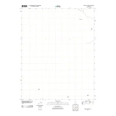
2011 Map of Basin Canyon
USGS Topo · Published 2011About this map
Hole In The Rock Rd cuts across the northeastern corner of this remote Kane County landscape, following a route deeply tied to the region's pioneering history. The terrain is defined by dramatic elevation changes and arid drainage systems, featuring the prominent Black Ridge and the broad, undulating expanse of the Washboard. In the southern half of the map, the headwaters of Basin Canyon and Willow Gulch reveal the intricate erosional patterns typical of the Escalante region. At the southern edge, West End Point serves as a significant topographical landmark overlooking the deeply incised canyons. This 2011 survey by the U.S. Geological Survey provides a precise record of the unpaved access routes and landforms that dictate travel and exploration in this high-desert environment.
Find a feature on this map
6 named features on this map. Tap any name to fly to it.
Don’t see what you’re looking for? This feature index may not catch every label — zoom into the map to look around manually.
Map Details
Editions of this 2011 Basin Canyon Map
This is the sole edition of this map. No revisions or reprints were ever made.
Other maps of this area

1886 · Escalante
USGS Topo · 1:250,000

1922 · Rees Canyon
USGS Topo · 1:63,360

1953 · Circle Cliffs 4 SW
USGS Topo · 1:24,000

1953 · Moody Creek
USGS Topo · 1:62,500

1956 · Escalante
USGS Topo · 1:250,000

1960 · Escalante
USGS Topo · 1:250,000

1964 · Sunset Flat
USGS Topo · 1:24,000

1964 · Seep Flat
USGS Topo · 1:24,000

1968 · East of The Navajo
USGS Topo · 1:24,000
1968 · Collet Top
USGS Topo · 1:24,000