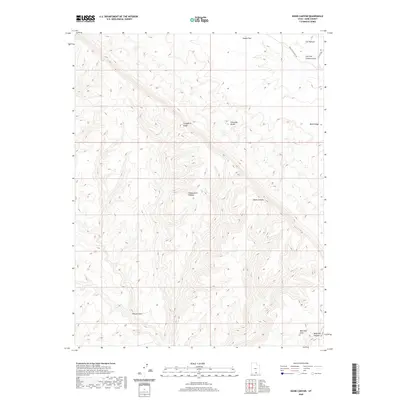
2020 Map of Basin Canyon
USGS Topo · Published 2020About this map
The Hole In The Rock Rd follows a historic route across the high desert, providing the primary access point for this portion of Kane County. This topographical study focuses on the stark transition from the elevated Kaiparowits Plateau down to the broken drainages of the Escalante River watershed. Notable landforms like the Straight Cliffs and Fiftymile Bench create a dramatic multi-tiered landscape, where plateaus drop away into deep-cut seasonal watercourses.
Find a feature on this map
12 named features on this map. Tap any name to fly to it.
Don’t see what you’re looking for? This feature index may not catch every label — zoom into the map to look around manually.
Map Details
Editions of this 2020 Basin Canyon Map
This is the sole edition of this map. No revisions or reprints were ever made.
Other maps of this area

1886 · Escalante
USGS Topo · 1:250,000

1922 · Rees Canyon
USGS Topo · 1:63,360

1953 · Circle Cliffs 4 SW
USGS Topo · 1:24,000

1953 · Moody Creek
USGS Topo · 1:62,500

1956 · Escalante
USGS Topo · 1:250,000

1960 · Escalante
USGS Topo · 1:250,000

1964 · Sunset Flat
USGS Topo · 1:24,000

1964 · Seep Flat
USGS Topo · 1:24,000

1968 · East of The Navajo
USGS Topo · 1:24,000
1968 · Collet Top
USGS Topo · 1:24,000