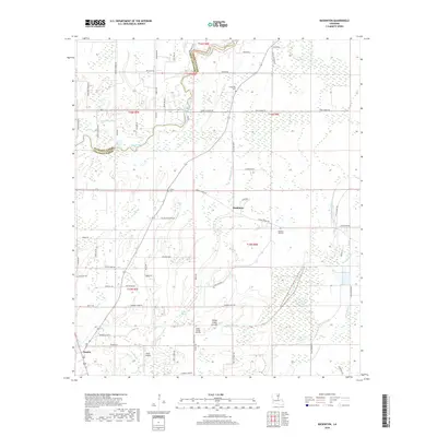
2018 Map of Baskinton
USGS Topo · Published 2018About this map
Baskinton and Baskin occupy the transition from the alluvial bottomlands of the Mississippi Delta to the slightly higher ground of the Richland-Franklin Parish line. This landscape is defined by its complex drainage network, where Big Creek and Hurricane Bayou wander through agricultural tracts. The map details a rural community anchored by small landmarks such as Friendship Cemetery and Pleasant Hall Cemetery, alongside several family-named roads like Bud Hilburn Road and Delmas McMurray Road. The southern portion of the sheet reveals the intersection of aviation and industry at Greg's Flying Service and Ollair Airport, situated near the Turkey Creek Cut-Off. This 2018 survey provides an intricate view of the local drainage patterns including Rowing Bayou and Open Slough, reflecting the water-managed nature of contemporary Louisiana farmland.
Find a feature on this map
73 named features on this map. Tap any name to fly to it.
Don’t see what you’re looking for? This feature index may not catch every label — zoom into the map to look around manually.
Map Details
Editions of this 2018 Baskinton Map
This is the sole edition of this map. No revisions or reprints were ever made.
Other maps of this area

1935 · Winnsboro
USGS Topo · 1:62,500

1935 · Alto
USGS Topo · 1:62,500

1935 · Baskinton
USGS Topo · 1:62,500

1939 · Fort Necessity
USGS Topo · 1:62,500

1955 · Jackson
USGS Topo · 1:250,000

1957 · Mangham
USGS Topo · 1:62,500

1958 · Baskinton
USGS Topo · 1:62,500

1958 · Winnsboro
USGS Topo · 1:62,500

1958 · Fort Necessity
USGS Topo · 1:62,500

1961 · Jackson
USGS Topo · 1:250,000