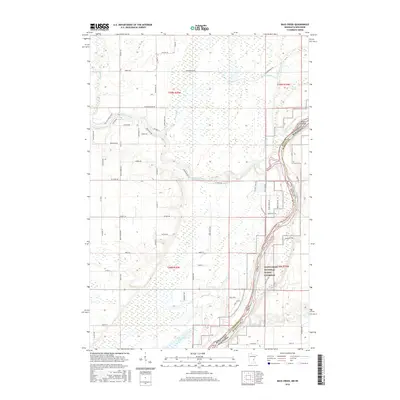
2016 Map of Bass Creek
USGS Topo · Published 2016About this map
The Saint Croix River forms the central artery of this landscape, marking the state boundary between Minnesota and Wisconsin and flowing through the protected Saint Croix National Scenic Riverway. This 2016 survey illustrates a complex riparian environment where the Snake River joins the main channel, creating a network of backwaters and low-lying features like Seven Islands and the Long Meadows Lake.
Find a feature on this map
70 named features on this map. Tap any name to fly to it.
Don’t see what you’re looking for? This feature index may not catch every label — zoom into the map to look around manually.
Map Details
Editions of this 2016 Bass Creek Map
This is the sole edition of this map. No revisions or reprints were ever made.
Other maps of this area

1950 · Rush City
USGS Topo · 1:48,000

1950 · Grantsburg
USGS Topo · 1:48,000

1951 · Milltown
USGS Topo · 1:48,000

1953 · Stillwater
USGS Topo · 1:250,000

1955 · Rush City
USGS Topo · 1:62,500

1955 · Milltown
USGS Topo · 1:62,500

1955 · Stillwater
USGS Topo · 1:250,000

1958 · Stillwater
USGS Topo · 1:250,000

1961 · Pine City
USGS Topo · 1:62,500

1962 · Grantsburg
USGS Topo · 1:62,500