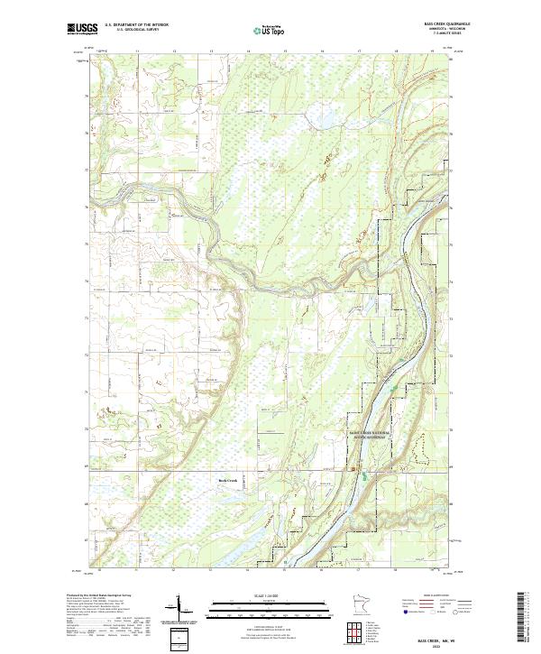
2022 Map of Bass Creek
USGS Topo · Published 2022About this map
The Saint Croix National Scenic Riverway dominates the eastern boundary of this Pine County landscape, where the confluence of several water systems defines the terrain. The Snake River winds eastward across the quadrangle, joined by tributaries including Bear Cr, Bass Cr, and Rock Creek. This hydrological network is complemented by the Matthew Lourey State Trl, which follows the river corridor through a mix of wetlands and wooded areas. North of the river, the Green Swamp and the W Fork Redhorse Cr indicate the low-lying, saturated nature of the local geography. Human activity is marked by a grid of rural routes such as Chengwatana Rd and Crooked River Rd, which provide access to these protected river lands and the Seven Islands area within the Saint Croix's main channel.
Find a feature on this map
49 named features on this map. Tap any name to fly to it.
Don’t see what you’re looking for? This feature index may not catch every label — zoom into the map to look around manually.
Map Details
Editions of this 2022 Bass Creek Map
This is the sole edition of this map. No revisions or reprints were ever made.
Other maps of this area

1950 · Rush City
USGS Topo · 1:48,000

1950 · Grantsburg
USGS Topo · 1:48,000

1951 · Milltown
USGS Topo · 1:48,000

1953 · Stillwater
USGS Topo · 1:250,000

1955 · Rush City
USGS Topo · 1:62,500

1955 · Milltown
USGS Topo · 1:62,500

1955 · Stillwater
USGS Topo · 1:250,000

1958 · Stillwater
USGS Topo · 1:250,000

1961 · Pine City
USGS Topo · 1:62,500

1962 · Grantsburg
USGS Topo · 1:62,500