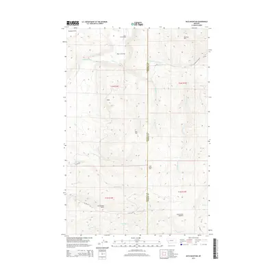
2014 Map of Bata Mountain
USGS Topo · Published 2014About this map
The Blackfoot River carves a narrow valley through the northwestern corner of this territory, where the Bear Creek Bridge provides a vital crossing near Bear Creek Flat. This 2014 survey documents a landscape defined by the rugged divide between Missoula and Powell counties, characterized by high-elevation landforms such as Blacktail Mtn and Bata Mtn. To the south, Cap Wallace Gulch and the high grasslands of Chamberlain Meadows suggest a region utilized for ranching and forest access. The network of forest service and BLM routes, including Chamberlain Creek Rd and Cap Wallace Rd, reveals the infrastructure maintained for managing these mountainous tracts. Small drainage systems like Warren Cr and Wales Cr define the intricate topography that separates the distinct peaks of Baldy and Lost Horse Mtn.
Find a feature on this map
30 named features on this map. Tap any name to fly to it.
Don’t see what you’re looking for? This feature index may not catch every label — zoom into the map to look around manually.
Map Details
Editions of this 2014 Bata Mountain Map
This is the sole edition of this map. No revisions or reprints were ever made.
Other maps of this area

1902 · Ovando
USGS Topo · 1:125,000

1905 · Ovando
USGS Topo · 1:125,000

1919 · Drummond
USGS Topo · 1:125,000

1921 · Drummond
USGS Topo · 1:125,000

1947 · Butte
USGS Topo · 1:250,000

1955 · Choteau
USGS Topo · 1:250,000

1957 · Choteau
USGS Topo · 1:250,000

1958 · Butte
USGS Topo · 1:250,000

1958 · Choteau
USGS Topo · 1:250,000

1960 · Butte
USGS Topo · 1:250,000