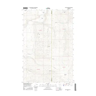
2017 Map of Bata Mountain
USGS Topo · Published 2017About this map
Blanchard Flats and the nearby Blackfoot River dominate the northern landscape of this territory along the border of Missoula and Powell counties. The map illustrates a high-elevation environment defined by peaks like Bata Mountain, Baldy, and Blacktail Mtn, which overlook a network of seasonal and permanent watercourses. The drainage patterns are clearly delineated, with the W Fork Bear Cr and E Fork Bear Cr feeding toward the north, while Fish Cr and Little Fish Cr navigate the central valleys.
Find a feature on this map
31 named features on this map. Tap any name to fly to it.
Don’t see what you’re looking for? This feature index may not catch every label — zoom into the map to look around manually.
Map Details
Editions of this 2017 Bata Mountain Map
This is the sole edition of this map. No revisions or reprints were ever made.
Other maps of this area

1902 · Ovando
USGS Topo · 1:125,000

1905 · Ovando
USGS Topo · 1:125,000

1919 · Drummond
USGS Topo · 1:125,000

1921 · Drummond
USGS Topo · 1:125,000

1947 · Butte
USGS Topo · 1:250,000

1955 · Choteau
USGS Topo · 1:250,000

1957 · Choteau
USGS Topo · 1:250,000

1958 · Butte
USGS Topo · 1:250,000

1958 · Choteau
USGS Topo · 1:250,000

1960 · Butte
USGS Topo · 1:250,000