
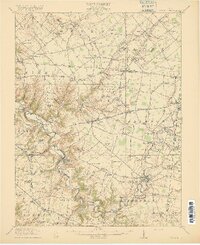
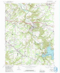
1916 Map of Batavia
USGS Topo · Published 1916About this map
The East Fork Little Miami River carves a deeply winding path through central Clermont County, anchoring the settlements of Batavia and Williamsburg. This 1914 survey captures a rural landscape defined by its river valleys and an extensive network of schoolhouses, such as Spread Eagle School and Gatley Hill School, which served dispersed farming communities. Transportation is a standout feature, with several electric lines like the Cincinnati and Columbus Electric RR and the Interurban Electric RR threading between villages like Owensville and Newtonsville. These interurban railways, alongside the Norfolk and Western RR, suggest a period of high connectivity before the dominance of modern highways. The terrain transitions from the broad floodplains of the Little Miami River to the upland plateaus where crossroads like Goshen and Edenton thrived at the height of the early twentieth century.
Find a feature on this map
115 named features on this map. Tap any name to fly to it.
Don’t see what you’re looking for? This feature index may not catch every label — zoom into the map to look around manually.
Map Details
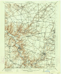
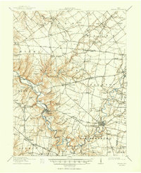
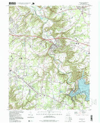
Editions of this 1916 Batavia Map
4 editions found
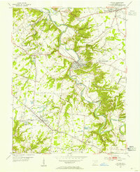
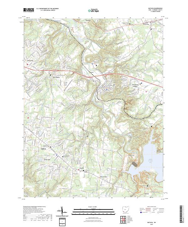
Historical Maps of Jackson Township Through Time
6 maps found

Featured Locations
- Stonelick Township, OH
- Williamsburg, Williamsburg Township
- Mulberry, Miami Township
- Amelia, Batavia Township
- Batavia, Batavia Township