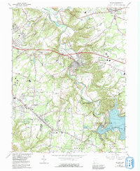
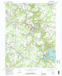
1965 Map of Batavia
USGS Topo · Published 1992About this map
Batavia sits at the heart of this landscape, its development shaped by the winding course of the East Fork Little Miami River. By the mid-1960s, the area reflects a mix of established village centers and emerging infrastructure, including the County Airport and a prominent Sewage Disposal plant. The southern portion of the map is dominated by the waters of William H Harsha Lake, which dramatically changed the local topography and necessitated the establishment of East Fork State Park and the East Fork Tailwater State Wildlife Area.
Find a feature on this map
65 named features on this map. Tap any name to fly to it.
Don’t see what you’re looking for? This feature index may not catch every label — zoom into the map to look around manually.
Map Details
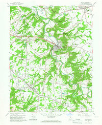
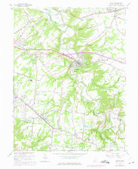
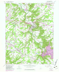
Editions of this 1965 Batavia Map
5 editions found
Other maps of this area

1898 · East Cincinnati
USGS Topo · 1:62,500

1914 · East Cincinnati
USGS Topo · 1:62,500

1914 · Batavia
USGS Topo · 1:48,000

1916 · Batavia
USGS Topo · 1:62,500

1929 · Alexandria
USGS Topo · 1:48,000

1931 · Felicity
USGS Topo · 1:62,500

1936 · Alexandria
USGS Topo · 1:62,500

1953 · Laurel
USGS Topo · 1:24,000

1953 · Withamsville
USGS Topo · 1:24,000

1953 · Bethel
USGS Topo · 1:24,000