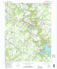
1965 Map of Batavia
USGS Topo · Published 1992About this map
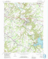
The East Fork Little Miami River carves a deep valley through this region of Clermont County, centered on the village of Batavia. In the mid-1960s, the landscape was undergoing a major transformation with the creation of William H Harsha Lake, which dramatically altered the drainage of Fourmile Run and Slabcamp Run. This transition from river valley to reservoir is caught mid-development, alongside the established settlements of Amelia and Willowville.
Find a feature on this map
55 named features on this map. Tap any name to fly to it.
Don’t see what you’re looking for? This feature index may not catch every label — zoom into the map to look around manually.
Map Details
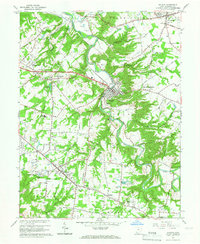
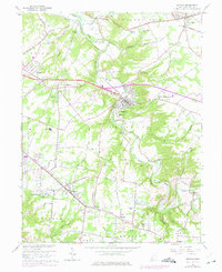
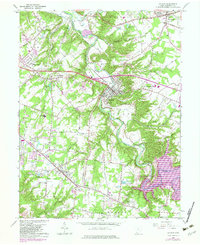
Editions of this 1965 Batavia Map
5 editions found
Other maps of this area

1898 · East Cincinnati
USGS Topo · 1:62,500

1914 · East Cincinnati
USGS Topo · 1:62,500

1914 · Batavia
USGS Topo · 1:48,000

1916 · Batavia
USGS Topo · 1:62,500

1929 · Alexandria
USGS Topo · 1:48,000

1931 · Felicity
USGS Topo · 1:62,500

1936 · Alexandria
USGS Topo · 1:62,500

1953 · Laurel
USGS Topo · 1:24,000

1953 · Withamsville
USGS Topo · 1:24,000

1953 · Bethel
USGS Topo · 1:24,000