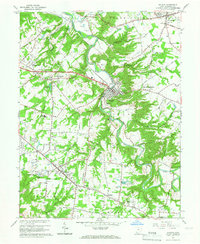
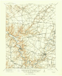
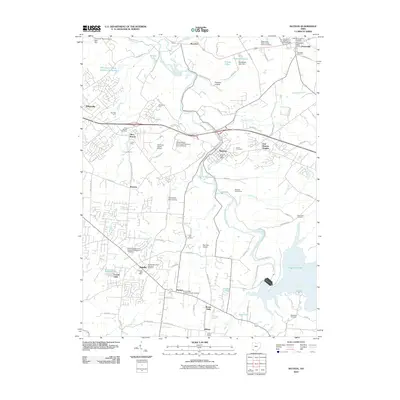
1965 Map of Batavia
USGS Topo · Published 1967About this map
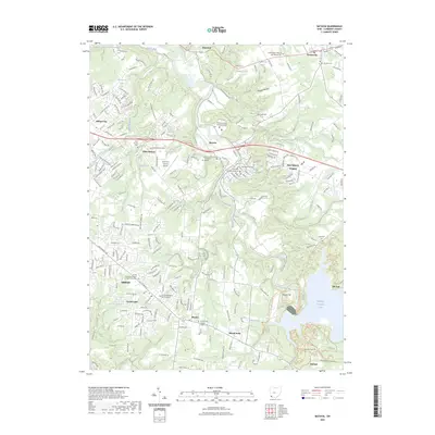
The East Fork Little Miami River carves a deep, winding path through this portion of Clermont County, creating the sharp bends and steep valleys that define the landscape around the village of Batavia. In the mid-1960s, this area reflects a mix of traditional agricultural roots and growing suburban development along the Norfolk and Western Railway. Local landmarks like the County Home and the Fish Hatchery sit near the river’s edge, while the upland areas show established communities like Amelia and Owensville.
Find a feature on this map
62 named features on this map. Tap any name to fly to it.
Don’t see what you’re looking for? This feature index may not catch every label — zoom into the map to look around manually.
Map Details
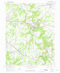
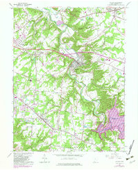
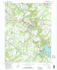
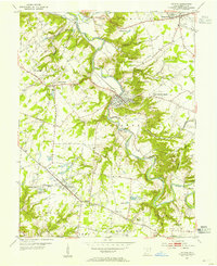
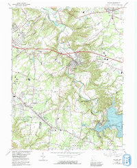
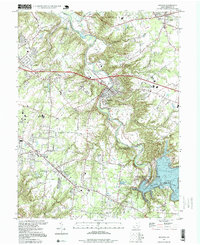
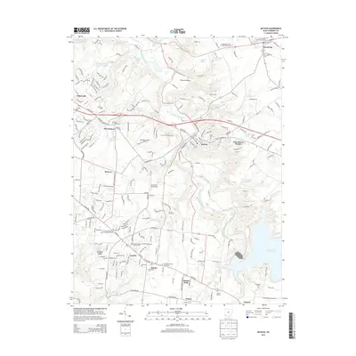
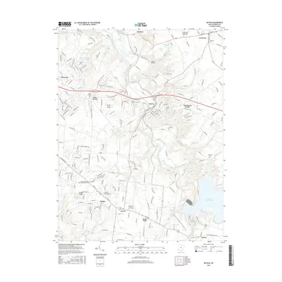
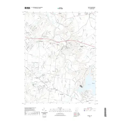
Editions of this 1965 Batavia Map
5 editions found
Historical Maps of Stonelick Township Through Time
10 maps found

1914 Batavia
Clermont County, OH
1916 Batavia
Clermont County, OH
1953 Batavia
Clermont County, OH
1965 Batavia
Clermont County, OH
1996 Batavia
Clermont County, OH
2010 Batavia
Clermont County, OH
2013 Batavia
Clermont County, OH
2016 Batavia
Clermont County, OH
2019 Batavia
Clermont County, OH
2023 Batavia
Clermont County, OH
Featured Locations
- Stonelick Township, OH
- Batavia Township, OH
- Amelia, Batavia Township
- Batavia, Batavia Township
- Owensville, Stonelick Township