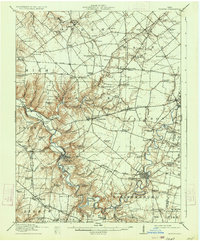
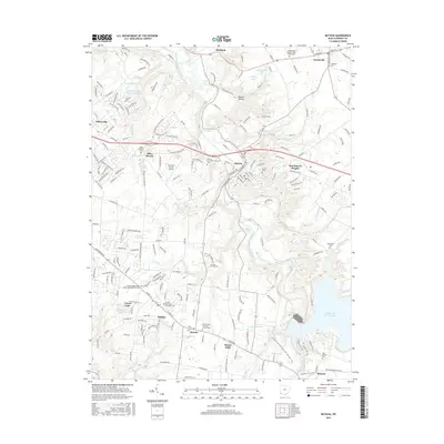
1916 Map of Batavia
USGS Topo · Published 1934About this map
The East Fork Little Miami River winds sharply through Clermont County, carving a deep valley that dictates the region's early 20th-century development. While the Norfolk and Western RR cuts across the southern landscape near Batavia and Williamsburg, the upland areas remain heavily agricultural, defined by an incredibly dense network of rural schoolhouses. These small educational hubs, such as Manila School, Spread Eagle School, and Zionsville School, are spaced with surprising regularity, indicating a time when local proximity was essential for rural families.
Find a feature on this map
109 named features on this map. Tap any name to fly to it.
Don’t see what you’re looking for? This feature index may not catch every label — zoom into the map to look around manually.
Map Details
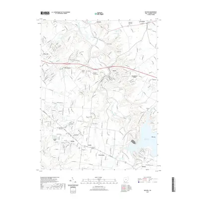
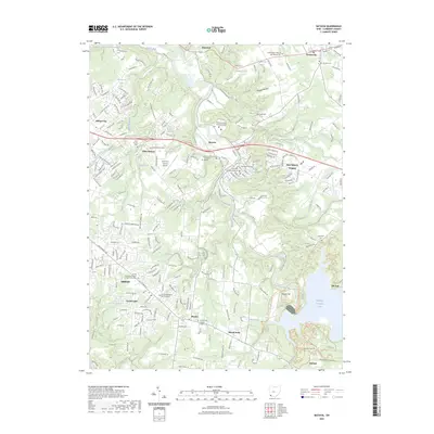
Editions of this 1916 Batavia Map
4 editions found

Historical Maps of Stonelick Township Through Time
10 maps found

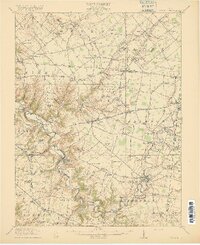
1914 Batavia
Clermont County, OH
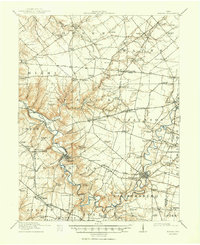
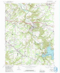
1916 Batavia
Clermont County, OH
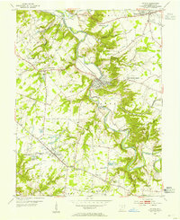
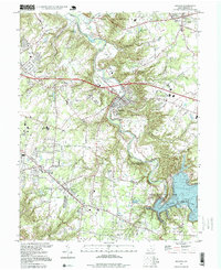
1953 Batavia
Clermont County, OH
1965 Batavia
Clermont County, OH
1996 Batavia
Clermont County, OH
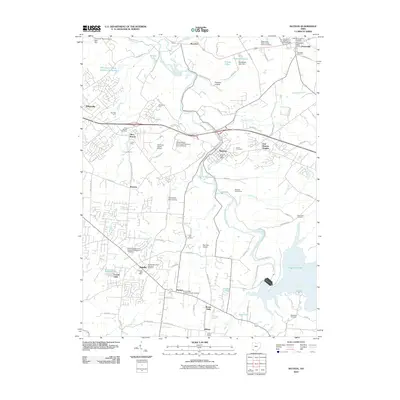
2010 Batavia
Clermont County, OH
2013 Batavia
Clermont County, OH
2016 Batavia
Clermont County, OH
2019 Batavia
Clermont County, OH
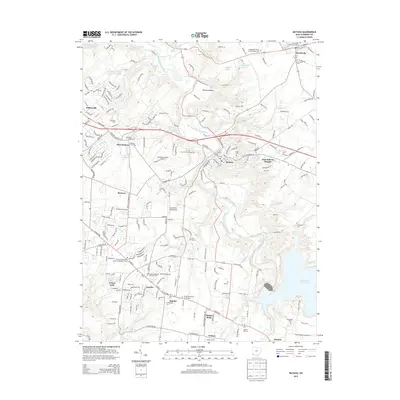
2023 Batavia
Clermont County, OH
Featured Locations
- Stonelick Township, OH
- Williamsburg, Williamsburg Township
- Mulberry, Miami Township
- Amelia, Batavia Township
- Batavia, Batavia Township