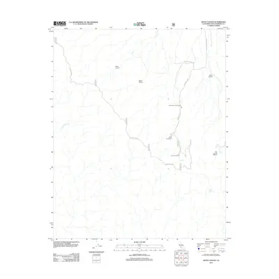
2012 Map of Bates Canyon
USGS Topo · Published 2012About this map
Sierra Madre Rd winds across the high ridges and deep drainages of the northern Santa Barbara back-country in this 2012 survey. The area is defined by a network of seasonal water sources and deep canyons, including Moon Canyon and Eckart Canyon, which feed into the larger Bates Canyon system. As a snapshot of modern forest management and backcountry access, the map identifies several primitive sites catering to travelers along Forest Rte 11N01, such as Bates Canyon Campground and Docs Spring Campground. Notable water sources like Cole Spring, Big Spring, and Hidden Spring serve as critical landmarks for navigation in the arid terrain. The map also records the course of the S Fork La Brea Cr, a key drainage for the region's watershed.
Find a feature on this map
18 named features on this map. Tap any name to fly to it.
Don’t see what you’re looking for? This feature index may not catch every label — zoom into the map to look around manually.
Map Details
Editions of this 2012 Bates Canyon Map
This is the sole edition of this map. No revisions or reprints were ever made.
Other maps of this area

1902 · Santa Ynez
USGS Topo · 1:125,000

1905 · Santa Ynez
USGS Topo · 1:125,000

1905 · Lompoc
USGS Topo · 1:125,000

1912 · McKittrick
USGS Topo · 1:125,000

1937 · Branch Mtn
USGS Topo · 1:48,000

1941 · Caliente Mountain
USGS Topo · 1:62,500

1941 · McPherson Peak
USGS Topo · 1:62,500

1942 · Lompoc
USGS Topo · 1:125,000

1942 · Branch Mountain
USGS Topo · 1:62,500

1942 · Caliente Mtn
USGS Topo · 1:62,500