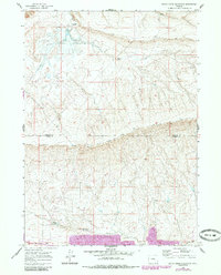
1959 Map of Bates Creek Reservoir
USGS Topo · Published 1985About this map
Bates Creek Reservoir and the surrounding high plains of Natrona and Carbon Counties are defined here by a landscape of intermittent streams and remote camp outposts. In the late 1950s, this area of the Wyoming interior was sparsely developed, marked primarily by the Casper Medicine Bow Road cutting through the center of the sheet and the small outpost of Two Bar Camp near the northern reservoir. To the south, the topography rises toward Moss Agate Ridge, where numerous Drill Holes indicate mid-century exploration for mineral resources. Small water features like Percy Reservoir and various unnamed springs dot the terrain, reflecting the critical importance of water management for livestock and industry in this arid environment. The map captures the region just before later 20th-century developments, preserving the original ranching and resource-extraction footprint of the area.
Find a feature on this map
11 named features on this map. Tap any name to fly to it.
Don’t see what you’re looking for? This feature index may not catch every label — zoom into the map to look around manually.
Map Details
Editions of this 1959 Bates Creek Reservoir Map
3 editions found
Other maps of this area

1955 · Casper
USGS Topo · 1:250,000

1958 · Casper
USGS Topo · 1:250,000

1959 · Moss Agate Reservoir
USGS Topo · 1:24,000

1959 · Squaw Spring
USGS Topo · 1:24,000

1959 · Chalk Hills
USGS Topo · 1:24,000

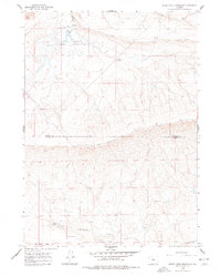
1959 · Bates Creek Reservoir
USGS Topo · 1:24,000

1960 · Sheep Creek
USGS Topo · 1:24,000

1960 · Mud Springs
USGS Topo · 1:24,000

1960 · Measel Spring Reservoir
USGS Topo · 1:24,000

1960 · Ice Cave Mountain
USGS Topo · 1:24,000