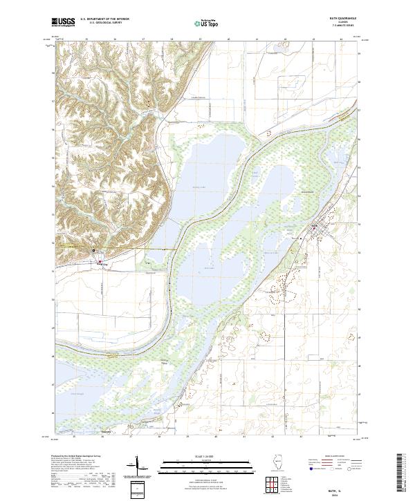
2024 Map of Bath
USGS Topo · Published 2024About this map
The Illinois River dominates this landscape at the intersection of Mason, Fulton, and Schuyler Counties, defining a complex network of backwaters and seasonal wetlands. The village of Bath sits on the eastern shore, overlooking the braided channels of the East Branch Illinois River and the large landmass of Grand Island. This area is characterized by a high density of named water bodies, including Stickey Lake, Moscow Lake, and Jack Lake, illustrating the dynamic nature of the river's floodplain.
Find a feature on this map
65 named features on this map. Tap any name to fly to it.
Don’t see what you’re looking for? This feature index may not catch every label — zoom into the map to look around manually.
Map Details
Editions of this 2024 Bath Map
This is the sole edition of this map. No revisions or reprints were ever made.
Other maps of this area

1918 · Vermont
USGS Topo · 1:62,500

1921 · Vermont
USGS Topo · 1:62,500

1925 · Havana
USGS Topo · 1:62,500

1926 · Beardstown
USGS Topo · 1:62,500

1930 · Chandlerville
USGS Topo · 1:62,500

1932 · Chandlerville
USGS Topo · 1:62,500

1944 · Beardstown
USGS Topo · 1:62,500

1947 · Havana
USGS Topo · 1:24,000

1948 · Duncan Mills
USGS Topo · 1:24,000
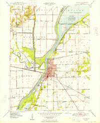
1948 · Havana
USGS Topo · 1:24,000