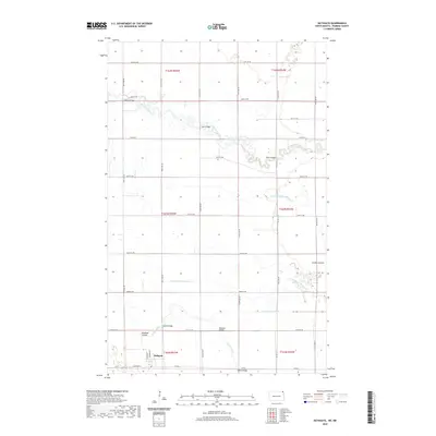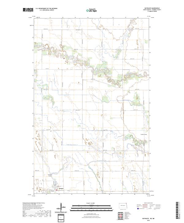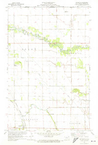
1971 Map of Bathgate
USGS Topo · Published 1973About this map
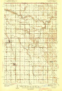
The Canada United States border defines the northern edge of this Red River Valley landscape, where the meandering Pembina River and Tongue River dictate the local geography. In the early 1970s, the town of Bathgate serves as the primary settlement, situated along the Burlington Northern railroad line. The map highlights a complex network of agricultural water management, including the Louden Ditch No 42, County Ditch No 17, and the Tongue River Cutoff. For researchers, the map provides precise locations for family-named landmarks like Austin Bridge and Meagher Bridge, as well as the St Anthonys Cem on the outskirts of town. The presence of the Bonaime Landing Strip suggests the importance of aerial crop management in this intensely farmed corner of Pembina County.
Find a feature on this map
28 named features on this map. Tap any name to fly to it.
Don’t see what you’re looking for? This feature index may not catch every label — zoom into the map to look around manually.
Map Details
Editions of this 1971 Bathgate Map
This is the sole edition of this map. No revisions or reprints were ever made.
Historical Maps of Bathgate Through Time
7 maps found