
1964 Map of Neche
USGS Topo · Published 1965About this map
Neche sits at the heart of this mid-century Red River Valley landscape, positioned where the Great Northern railway line crosses the international boundary. The erratic, tightly winding course of the Pembina River dominates the northern reaches of the map, cutting deep meanders across the flat prairie before flowing past the town center. This survey, conducted as part of the Missouri River Basin development program, captures the vital border infrastructure of the era, including the Port of Entry US Customs station. Away from the rail corridor, the land is organized into the townships of Felson, Neche, Cavalier, and Bathgate. Local history is anchored by quiet landmarks like Union Cem and Bruce Cem, while the drainage of the fertile plains is traced through the channels of Louden Coulee and Rosebud Coulee.
Find a feature on this map
16 named features on this map. Tap any name to fly to it.
Don’t see what you’re looking for? This feature index may not catch every label — zoom into the map to look around manually.
Map Details
Editions of this 1964 Neche Map
This is the sole edition of this map. No revisions or reprints were ever made.
Other maps of this area

1939 · Cavalier
USGS Topo · 1:62,500

1941 · Cavalier
USGS Topo · 1:62,500

1941 · Bathgate
USGS Topo · 1:62,500

1952 · Thief River Falls
USGS Topo · 1:250,000

1956 · Thief River Falls
USGS Topo · 1:250,000

1957 · Thief River Falls
USGS Topo · 1:250,000
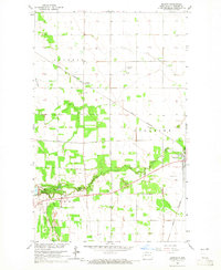
1964 · Backoo
USGS Topo · 1:24,000
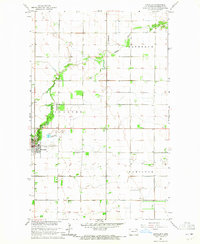
1964 · Cavalier
USGS Topo · 1:24,000
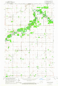
1964 · Cavalier NW
USGS Topo · 1:24,000

1967 · Thief River Falls
USGS Topo · 1:250,000