
1939 Map of Baton Rouge
USGS Topo · Published 1947About this map
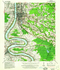
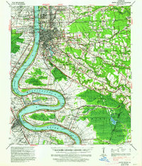
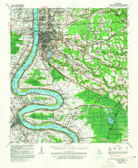
The Mississippi River carves a massive, winding path through the heart of this region, shaping the development of Baton Rouge and its surrounding parishes on the eve of the 1940s. The river's dramatic curves at Missouri Bend and Plaquemine Point define the landscape, while a dense network of railroads like the Louisiana and Arkansas and the Texas and Pacific converge on the capital city. Significant land holdings such as Poplar Grove Plantation and Cinclare underscore the agricultural foundations of West Baton Rouge Parish, even as residential growth expands through neighborhoods like University Gardens and Garden City. Cultural and spiritual life is deeply rooted in the landscape, evidenced by the numerous church-cemetery combinations including Rock Zion Ch & Cem and Bible Students Ch & Cem. To the southeast, the lowlands of Spanish Lake and Alligator Bayou mark a transition into the more marshy terrain of Ascension Parish.
Find a feature on this map
108 named features on this map. Tap any name to fly to it.
Don’t see what you’re looking for? This feature index may not catch every label — zoom into the map to look around manually.
Map Details
Editions of this 1939 Baton Rouge Map
4 editions found
Other maps of this area

1892 · Donaldsonville
USGS Topo · 1:62,500

1906 · Bayou Sara
USGS Topo · 1:125,000

1908 · Baton Rouge
USGS Topo · 1:62,500

1934 · Denham Springs
USGS Topo · 1:62,500

1935 · Gonzales
USGS Topo · 1:31,680

1935 · Chicot Lake
USGS Topo · 1:62,500

1936 · White Castle
USGS Topo · 1:62,500

1939 · Zachary
USGS Topo · 1:62,500

1939 · Denham Springs
USGS Topo · 1:62,500

1939 · Donaldsonville
USGS Topo · 1:62,500