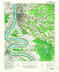
1939 Map of Baton Rouge
USGS Topo · Published 1965About this map
The Baton Rouge riverfront and the sprawling alluvial plains of the Mississippi River define this 1939 survey, capturing a pivotal era of regional development. The landscape is dominated by the river's winding course, marked by significant landforms like Manchac or Australia Point and Plaquemine Point. The era's economy is etched into the map through numerous river-dependent estates, such as Cottage Plantation and Lucky Plantation, alongside the industrial and educational growth in neighborhoods like Istrouma and University Gardens. Transportation networks are densely packed, featuring the Yazoo and Mississippi Valley RR and the Texas and Pacific RR, which facilitated trade and movement across the parish lines. Smaller rural communities and spiritual centers are well-documented, including the Bible Students Ch & Cem and Rose Hill Ch Sch & Cem, providing essential details for those tracing the social fabric of the pre-war South.
Find a feature on this map
133 named features on this map. Tap any name to fly to it.
Don’t see what you’re looking for? This feature index may not catch every label — zoom into the map to look around manually.
Map Details
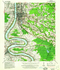
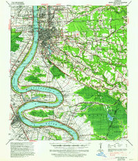
Editions of this 1939 Baton Rouge Map
4 editions found
Other maps of this area

1892 · Donaldsonville
USGS Topo · 1:62,500

1906 · Bayou Sara
USGS Topo · 1:125,000

1908 · Baton Rouge
USGS Topo · 1:62,500

1934 · Denham Springs
USGS Topo · 1:62,500

1935 · Gonzales
USGS Topo · 1:31,680

1935 · Chicot Lake
USGS Topo · 1:62,500

1936 · White Castle
USGS Topo · 1:62,500

1939 · Zachary
USGS Topo · 1:62,500

1939 · Denham Springs
USGS Topo · 1:62,500

1939 · Baton Rouge
USGS Topo · 1:62,500