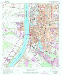
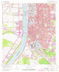
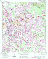
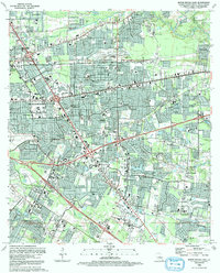
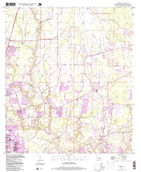
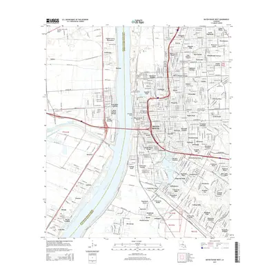
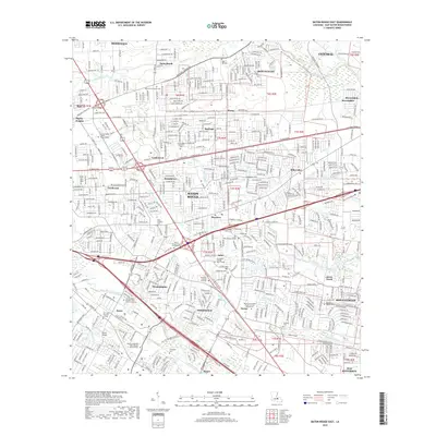
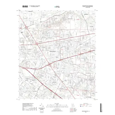
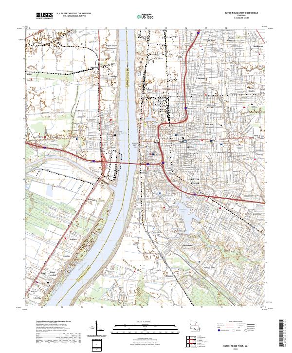
1963 Map of Baton Rouge West
USGS Topo · Published 1989About this map
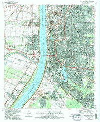
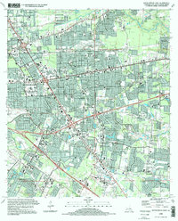
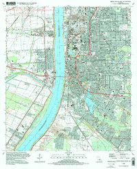
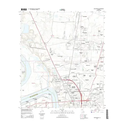
Poplar Grove Plantation and Cinclare sit on the west bank of the Mississippi River, representing a landscape where agricultural traditions met emerging industrial infrastructure. This survey captures the mid-century expansion of Baton Rouge, particularly the growth of neighborhoods like Istrouma and North Highlands. The river remains the central axis, defined by the Greater Baton Rouge Port and the engineering of the Intracoastal Waterway (Port Allen Canal) with its critical Port Allen Lock. Educational and social institutions are densely documented, from the School for Blind to McKinley Sr High Sch, alongside numerous community hubs like Sacred Heart Sch. The inclusion of Brusly Landing and the St John Cem provides specific detail for those tracing regional family history and the shifting boundaries of West Baton Rouge Parish and East Baton Rouge Parish.
Find a feature on this map
103 named features on this map. Tap any name to fly to it.
Don’t see what you’re looking for? This feature index may not catch every label — zoom into the map to look around manually.
Map Details
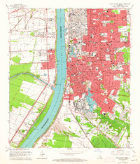
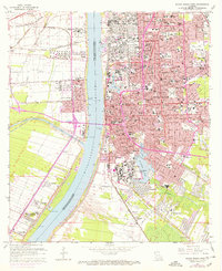
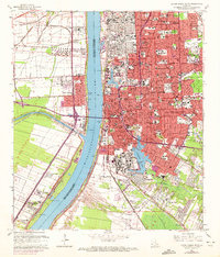
Editions of this 1963 Baton Rouge West Map
5 editions found
Historical Maps of Baton Rouge Through Time
50 maps found

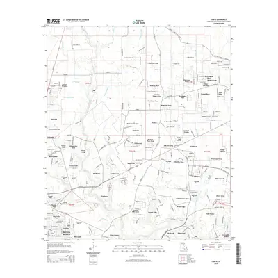
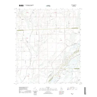
1942 Pride
East Baton Rouge Parish, LA

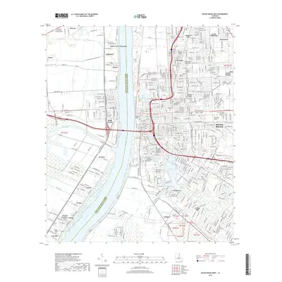
1953 Baton Rouge East
East Baton Rouge Parish, LA

1953 Baton Rouge West
East Baton Rouge Parish, LA
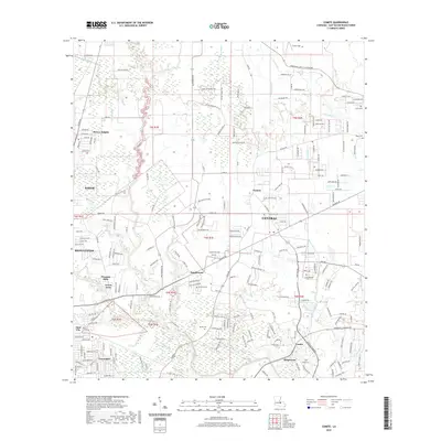
1953 Comite
East Baton Rouge Parish, LA

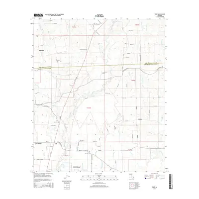
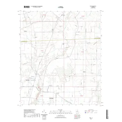
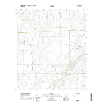
1954 Fred
East Baton Rouge Parish, LA
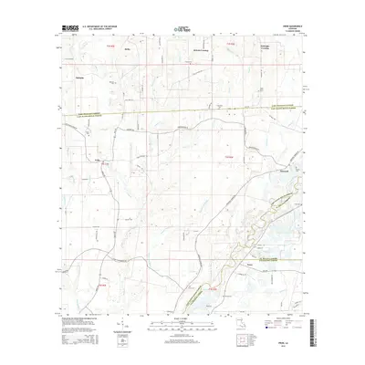
1954 Pride
East Baton Rouge Parish, LA

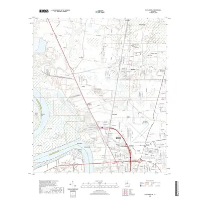
1954 Scotlandville
East Baton Rouge Parish, LA
1962 Comite
East Baton Rouge Parish, LA
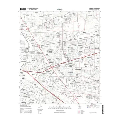
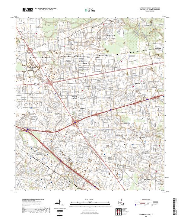
1963 Baton Rouge East
East Baton Rouge Parish, LA
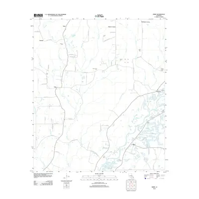
1963 Baton Rouge West
East Baton Rouge Parish, LA
1963 Fred
East Baton Rouge Parish, LA
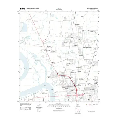
1963 Scotlandville
East Baton Rouge Parish, LA
1980 Pride
East Baton Rouge Parish, LA
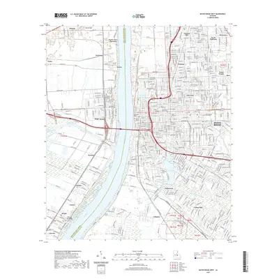
1992 Baton Rouge East
East Baton Rouge Parish, LA
1992 Baton Rouge West
East Baton Rouge Parish, LA
1995 Baton Rouge East
East Baton Rouge Parish, LA
1995 Baton Rouge West
East Baton Rouge Parish, LA

1995 Scotlandville
East Baton Rouge Parish, LA
1996 Comite
East Baton Rouge Parish, LA

1998 Fred
East Baton Rouge Parish, LA
2012 Baton Rouge East
East Baton Rouge Parish, LA

2012 Baton Rouge West
East Baton Rouge Parish, LA
2012 Comite
East Baton Rouge Parish, LA
2012 Fred
East Baton Rouge Parish, LA
2012 Pride
East Baton Rouge Parish, LA
2012 Scotlandville
East Baton Rouge Parish, LA
2015 Baton Rouge East
East Baton Rouge Parish, LA
2015 Baton Rouge West
East Baton Rouge Parish, LA
2015 Comite
East Baton Rouge Parish, LA
2015 Fred
East Baton Rouge Parish, LA
2015 Pride
East Baton Rouge Parish, LA
2015 Scotlandville
East Baton Rouge Parish, LA
2018 Baton Rouge East
East Baton Rouge Parish, LA
2018 Baton Rouge West
East Baton Rouge Parish, LA
2018 Comite
East Baton Rouge Parish, LA
2018 Fred
East Baton Rouge Parish, LA
2018 Pride
East Baton Rouge Parish, LA

2018 Scotlandville
East Baton Rouge Parish, LA
2020 Baton Rouge East
East Baton Rouge Parish, LA
2020 Baton Rouge West
East Baton Rouge Parish, LA
2020 Comite
East Baton Rouge Parish, LA
2020 Fred
East Baton Rouge Parish, LA
2020 Pride
East Baton Rouge Parish, LA
2020 Scotlandville
East Baton Rouge Parish, LA
2024 Baton Rouge East
East Baton Rouge Parish, LA
2024 Baton Rouge West
East Baton Rouge Parish, LA
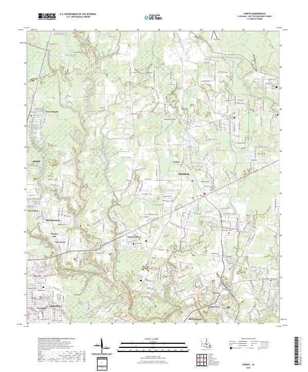
2024 Comite
East Baton Rouge Parish, LA
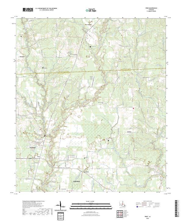
2024 Fred
East Baton Rouge Parish, LA
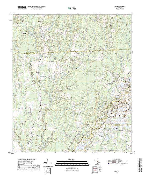
2024 Pride
East Baton Rouge Parish, LA
2024 Scotlandville
East Baton Rouge Parish, LA