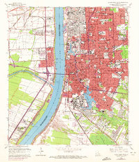
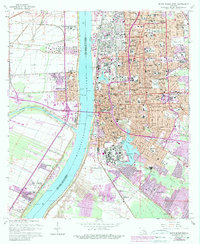
1963 Map of Baton Rouge West
USGS Topo · Published 1972About this map
Baton Rouge and the surrounding river parishes are captured here in a period of significant mid-century transition. The west bank is dominated by a mix of historic agricultural roots and heavy industrial development, featuring the Poplar Grove Plantation and Cinclare alongside the expanding infrastructure of the Greater Baton Rouge Port. The Mississippi River serves as the central artery, with the Mississippi River Bridge and a ferry crossing connecting the urban core to Port Allen. On the east bank, the landscape is defined by the Louisiana State University and A & M College campus and its associated lakes, including University Lake and College Lake. The map reveals a dense network of educational and religious institutions, from McKinley High Sch to St Joseph Academy, reflecting the post-war growth of neighborhoods like Eden Park and Delmont Place.
Find a feature on this map
111 named features on this map. Tap any name to fly to it.
Don’t see what you’re looking for? This feature index may not catch every label — zoom into the map to look around manually.
Map Details
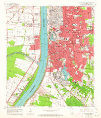
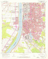
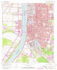
Editions of this 1963 Baton Rouge West Map
5 editions found
Other maps of this area

1906 · Bayou Sara
USGS Topo · 1:125,000

1908 · Baton Rouge
USGS Topo · 1:62,500

1939 · Zachary
USGS Topo · 1:62,500

1939 · Baton Rouge
USGS Topo · 1:62,500

1940 · Grosse Tete
USGS Topo · 1:62,500

1953 · Baton Rouge West
USGS Topo · 1:24,000

1953 · Plaquemine
USGS Topo · 1:24,000

1953 · Lobdell
USGS Topo · 1:24,000

1953 · Addis
USGS Topo · 1:24,000

1953 · St. Gabriel
USGS Topo · 1:24,000