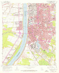
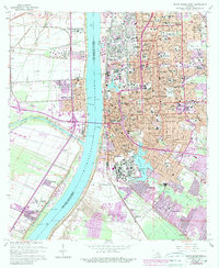
1963 Map of Baton Rouge West
USGS Topo · Published 1971About this map
The Mississippi River dominates this mid-century landscape, acting as the divide between the urban expansion of Baton Rouge and the industrial and agricultural developments of West Baton Rouge Parish. On the eastern bank, the sprawling campus of Louisiana State University and A & M College and the towering State Capitol define the skyline. The map records a city in transition, with purple-shaded areas showing the post-1963 urban spread into neighborhoods like Delmont Place and North Highlands.
Find a feature on this map
96 named features on this map. Tap any name to fly to it.
Don’t see what you’re looking for? This feature index may not catch every label — zoom into the map to look around manually.
Map Details
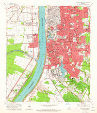
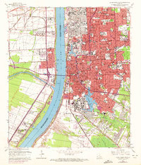
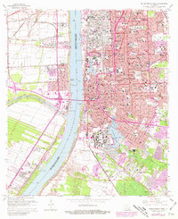
Editions of this 1963 Baton Rouge West Map
5 editions found
Other maps of this area

1906 · Bayou Sara
USGS Topo · 1:125,000

1908 · Baton Rouge
USGS Topo · 1:62,500

1939 · Zachary
USGS Topo · 1:62,500

1939 · Baton Rouge
USGS Topo · 1:62,500

1940 · Grosse Tete
USGS Topo · 1:62,500

1953 · Baton Rouge West
USGS Topo · 1:24,000

1953 · Plaquemine
USGS Topo · 1:24,000

1953 · Lobdell
USGS Topo · 1:24,000

1953 · Addis
USGS Topo · 1:24,000

1953 · St. Gabriel
USGS Topo · 1:24,000