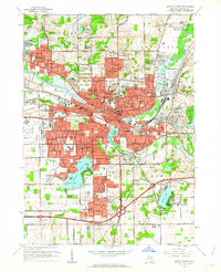
1961 Map of Battle Creek
USGS Topo · Published 1962About this map
Industrial and residential expansion in Battle Creek is clearly visible in the early 1960s as the city and surrounding townships of Bedford, Penfield, Emmett, and Battle Creek converge. The Kalamazoo River and the Battle Creek river define the urban core, which is heavily serviced by the Grand Trunk Western and New York Central railroads. The map highlights a high density of educational and social institutions, ranging from the Ann J Kellogg Sch and Leila Hospital to the Kimball Sanatorium. Suburban developments like Urbandale, Orchard Park, and Springfield Place illustrate the post-war housing boom, while traditional landmarks such as Oak Hill Cemetery and Goguac Lake provide historical anchors for the community. The large footprint of Kellogg Airport to the west further emphasizes the city's role as a regional transportation and manufacturing hub.
Find a feature on this map
110 named features on this map. Tap any name to fly to it.
Don’t see what you’re looking for? This feature index may not catch every label — zoom into the map to look around manually.
Map Details
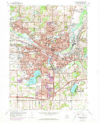
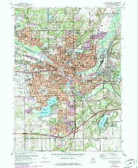
Editions of this 1961 Battle Creek Map
Other maps of this area

1918 · Battle Creek
USGS Topo · 1:62,500

1918 · Union City
USGS Topo · 1:62,500

1918 · Galesburg
USGS Topo · 1:62,500

1918 · Leonidas
USGS Topo · 1:62,500

1943 · Battle Creek
USGS Topo · 1:62,500

1944 · Leonidas
USGS Topo · 1:62,500

1944 · Galesburg
USGS Topo · 1:62,500

1947 · Augusta
USGS Topo · 1:24,000

1947 · Banfield
USGS Topo · 1:24,000

1947 · Bellevue
USGS Topo · 1:24,000