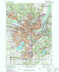
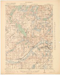
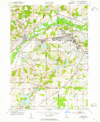
1961 Map of Battle Creek
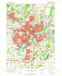
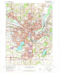
USGS Topo · Published 1985About this map
The Kalamazoo River and the Battle Creek converge in this mid-century portrait of industrial and residential expansion. The urban core of Battle Creek is flanked by several growing suburbs like Urbandale, Verona, and the independent city of Springfield. Transportation infrastructure is a dominant theme, with the Conrail and GTW RR lines threading through the river valleys while the W K Kellogg Regional Airfield occupies a significant portion of the western landscape.
Find a feature on this map
58 named features on this map. Tap any name to fly to it.
Don’t see what you’re looking for? This feature index may not catch every label — zoom into the map to look around manually.
Map Details
Editions of this 1961 Battle Creek Map
Other maps of this area
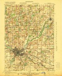
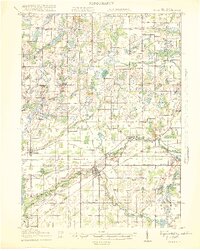
1918 · Battle Creek
USGS Topo · 1:62,500
1918 · Union City
USGS Topo · 1:62,500
1918 · Galesburg
USGS Topo · 1:62,500
1918 · Leonidas
USGS Topo · 1:62,500

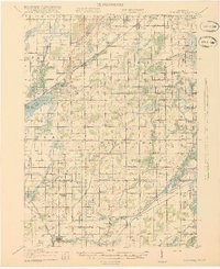
1943 · Battle Creek
USGS Topo · 1:62,500

1944 · Leonidas
USGS Topo · 1:62,500
1944 · Galesburg
USGS Topo · 1:62,500
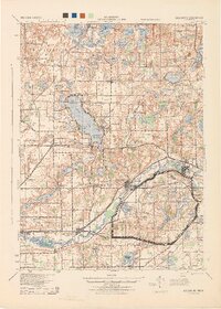
1947 · Augusta
USGS Topo · 1:24,000
1947 · Banfield
USGS Topo · 1:24,000
1947 · Bellevue
USGS Topo · 1:24,000
Featured Places
- Battle Creek, MI
- Springfield, MI
- Morgan Corners, Bedford Charter Township
- Brownlee Park, Emmett Charter Township
- Pennfield Charter Township, MI