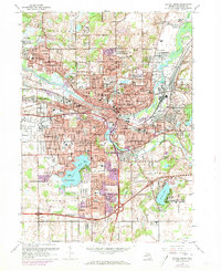
1961 Map of Battle Creek
USGS Topo · Published 1973About this map
The confluence of the Kalamazoo River and Battle Creek anchor this industrial and residential landscape during a period of significant mid-century expansion. The urban footprint is dense around the city center, featuring the GTW Sta and various educational landmarks such as Ann J Kellogg Sch and the Battle Creek Academy. The industrial character of the era is evident in the sprawling rail infrastructure of the Penn Central and Grand Trunk Western lines that bisect the city.
Find a feature on this map
93 named features on this map. Tap any name to fly to it.
Don’t see what you’re looking for? This feature index may not catch every label — zoom into the map to look around manually.
Map Details
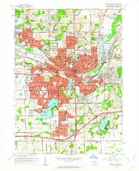
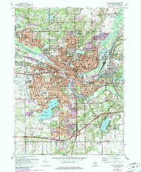
Editions of this 1961 Battle Creek Map
Other maps of this area

1918 · Battle Creek
USGS Topo · 1:62,500

1918 · Union City
USGS Topo · 1:62,500

1918 · Galesburg
USGS Topo · 1:62,500

1918 · Leonidas
USGS Topo · 1:62,500

1943 · Battle Creek
USGS Topo · 1:62,500

1944 · Leonidas
USGS Topo · 1:62,500

1944 · Galesburg
USGS Topo · 1:62,500

1947 · Augusta
USGS Topo · 1:24,000

1947 · Banfield
USGS Topo · 1:24,000

1947 · Bellevue
USGS Topo · 1:24,000